Last updated: October 10, 2024
Place
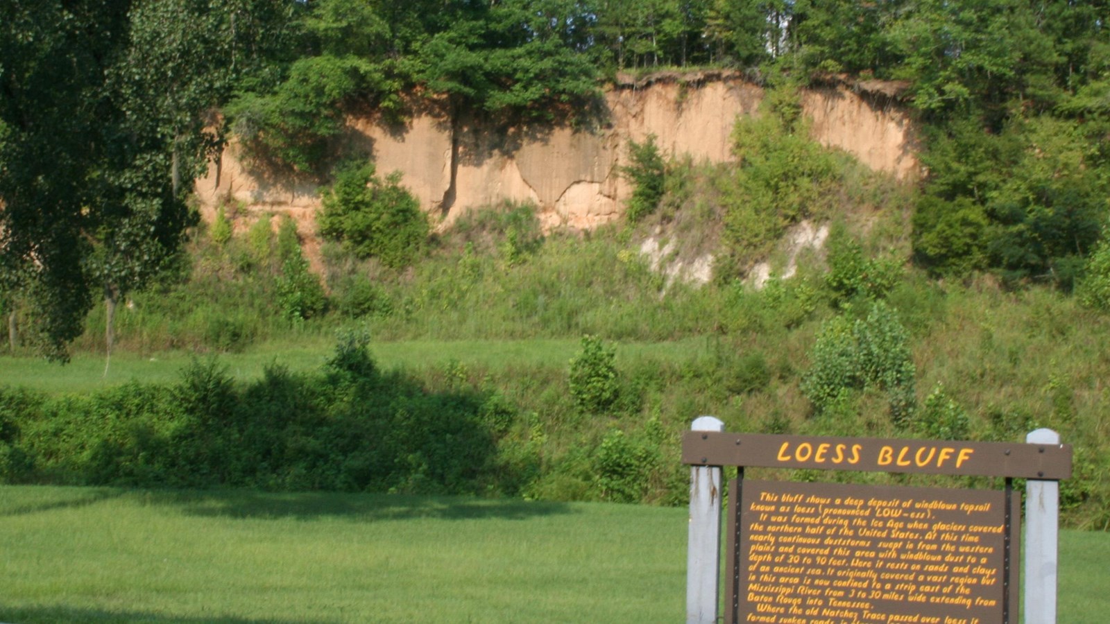
Loess Bluff, Milepost 12.4
NPS Photo
Quick Facts
Location:
Natchez Trace Parkway, Milepost 12.4
Significance:
Geology
Amenities
2 listed
Historical/Interpretive Information/Exhibits, Parking - Auto
This bluff shows a deep deposit of windblown topsoil known as loess, pronounced LOW-ess. It was formed during the Ice Age when glaciers covered the northern half of the United States. At this time nearly continuous dust storms swept in from the western plains and covered this area with windblown dust to a depth of thirty to ninety feet. Here it rests on sands and clays of an ancient sea. It originally covered a vast region but this area is now confined to a strip east of the Mississippi from three to thirty miles wide extending from Baton Rouge, LA into Tennessee.
Where the Old Natchez Trace passed over loess soil it formed sunken roads, in places 20 feet deep.
To view some of this sunken road head to the Potkopinu Section of the Natchez Trace National Scenic Trail.
Where the Old Natchez Trace passed over loess soil it formed sunken roads, in places 20 feet deep.
To view some of this sunken road head to the Potkopinu Section of the Natchez Trace National Scenic Trail.