Last updated: April 18, 2023
Place
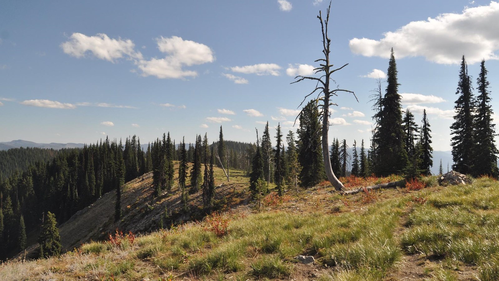
Lolo Trail, Idaho
USFS Northern Region
Quick Facts
Location:
US-12 Lolo Pass Rest Area, Forest Rd 1602, Kooskia, ID 83539
Significance:
Shoshone and Nez Perce people guided Meriwether Lewis and William Clark over this pass in 1805 and 1806.
Designation:
Lewis and Clark National Historic Trail, Lolo Trail National Historic Landmark, Nez Perce-Clearwater National Forests
Amenities
14 listed
Food/Drink - Coffee, Gifts/Souvenirs/Books, Historical/Interpretive Information/Exhibits, Information - Maps Available, Information - Ranger/Staff Member Present, Parking - Auto, Parking - Bus/RV, Picnic Table, Restroom, Restroom - Accessible, Scenic View/Photo Spot, Trailhead, Trash/Litter Receptacles, Wheelchair Accessible
The Lolo Trail was one of the only segments of the Lewis and Clark Expedition that the members traveled on land, rather than by boat.
Shoshone people told Meriwether Lewis and William Clark about this route over the Rocky Mountains, which would bring them to the headwaters of the great river (Columbia River) that wound its way to the ocean. Pikee Queenah (Swooping Eagle), a Shoshone man, guided the members this pass.
This trail was used most frequently by Nez Perce people. Lewis and Clark’s party traveled along it in September, a time when the snows had already begun. Nez Perce people knew that September was too late in the season to attempt a journey over the high passes.
It was clear to the expedition members that this trail was well-traveled. Clark called parts of it “a good road” and mentioned several forks in the path that led to many places. The visitors passed areas they recognized as camping sites, seasonal housing, and fishing spots. They also passed streams for watering and hot springs for bathing. All of these places were well used by the many travelers who utilized this trail.
Think of a road trip you have been on. Do you stop for gas? For somewhere to stay the night? For a place to pick up some food? This trail had all of that.
But it was easiest to traverse in the summertime. Nez Perce people knew this trail was best traveled when the snow was melted and when the food—whether camas or animals—were again abundant.
Once they crossed the trail, the travelers met Nez Perce people at Weippe Praire. On the return journey, after attempting to go too early in the spring—against the advice of Nez Perce people—Lewis and Clark turned back, waited, and then hired a local man to guide them along the route.
Lewis and Clark and their party were fortunate that Shoshone and Nez Perce people were willing to share knowledge of their homelands and assist these travelers on their journey.
About this article: This article is part of a series called “Pivotal Places: Stories from the Lewis and Clark National Historic Trail.”
Lewis and Clark NHT Visitor Centers and Museums
This map shows a range of features associated with the Lewis and Clark National Historic Trail, which commemorates the 1803-1806 Lewis and Clark Expedition. The trail spans a large portion of the North American continent, from the Ohio River in Pittsburgh, Pennsylvania, to the mouth of the Columbia River in Oregon and Washington. The trail is comprised of the historic route of the Lewis and Clark Expedition, an auto tour route, high potential historic sites (shown in black), visitor centers (shown in orange), and pivotal places (shown in green). These features can be selected on the map to reveal additional information. Also shown is a base map displaying state boundaries, cities, rivers, and highways. The map conveys how a significant area of the North American continent was traversed by the Lewis and Clark Expedition and indicates the many places where visitors can learn about their journey and experience the landscape through which they traveled.