Last updated: June 27, 2022
Place
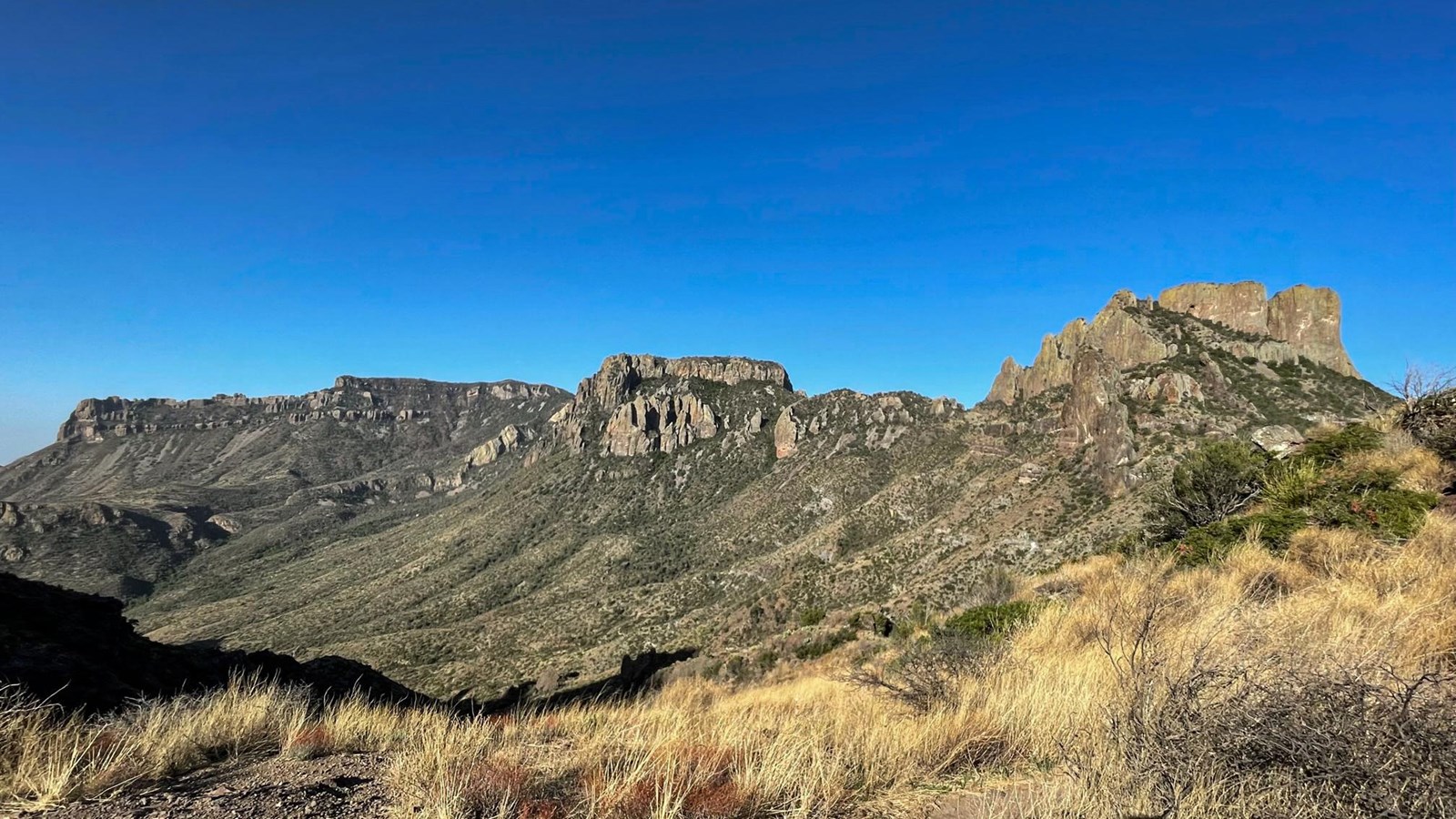
Lost Mine Trail Stop #16
NPS/C. Negele
Quick Facts
Location:
Lost Mine Trail
Amenities
1 listed
Scenic View/Photo Spot
Standing at this viewpoint, one has a great view of the bulk of the Chisos Mountains. From right to left are Casa Grande, Toll Mountain, and the Northeast Rim. Initially formed from volcanic activity, the Chisos Mountains have also been shaped by faulting and erosion. Researches continue to study these and other formations throughout the park to learn more about the geologic processes that formed this landscape.