Last updated: July 26, 2022
Place
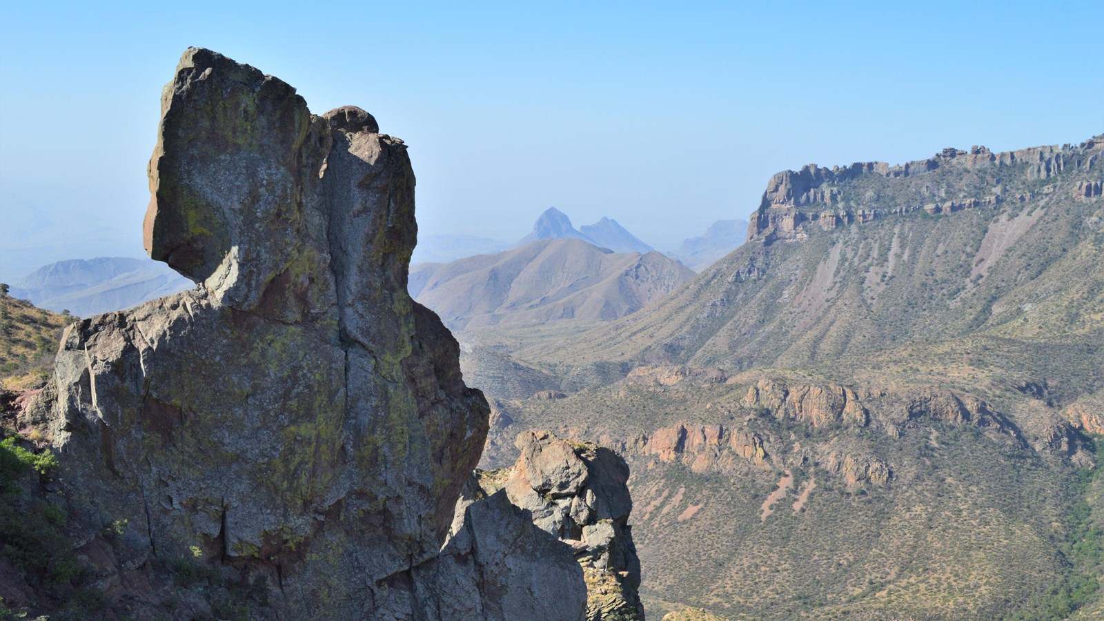
Lost Mine Trail Stop #26
NPS/C. Negele
Quick Facts
Location:
Lost Mine Trail
Amenities
2 listed
Historical/Interpretive Information/Exhibits, Scenic View/Photo Spot
You have reached the end of the Lost Mine Trail. Lost Mine Peak, at 7,650 feet in elevation, dominates the skyline to the north across Upper Pine Canyon. The peak's name comes from an old legend that describes how Spanish explorers found a vein of silver in this area and enslaved local people to mine it. According to legend, the workers eventually rebelled, killed their enslavers, and sealed the mine entrance to prevent further exploitation. There is no evidence to support this legend, and geologists don't believe that silver would form in the rocks of the Chisos Mountains. However, the name adds an air of mystery to this mountain.