Last updated: May 21, 2024
Place
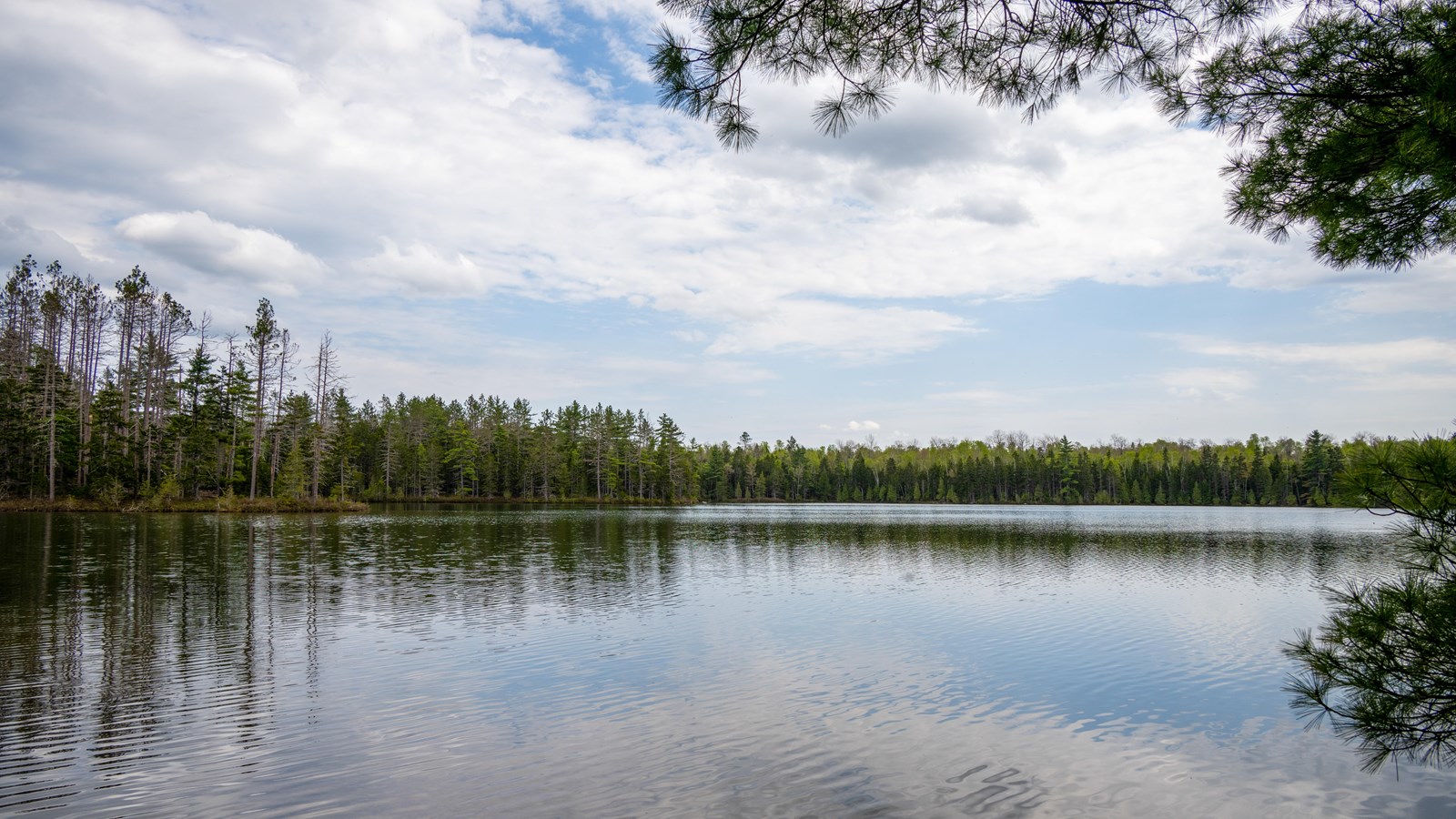
Messer Pond
NPS / R.WANG
Quick Facts
Location:
46.04908.-68.77732
Amenities
1 listed
Scenic View/Photo Spot
Messer Pond is one of five state heritage ponds in Katahdin Woods & Waters National Monument. It is also one of four Great Ponds within the monument. The state of Maine gives heritage fish waters special protection because the wild brook trout are self-sustaining in these waters and not maintained by stocking. Messer Pond was last stocked in 1961. Invasive fish pose a major threat to these wild brook trout. Other fish found in Messer Pond are redbreast sunfish, pumpkinseed sunfish, creek chub, and finescale dace. The ecosystem here makes it a good location for wildlife viewing.
At the pond, hikers can also view a mature stand (a uniform group of trees or contiguous community of trees with uniform characteristics) of red pine on the east shore.
Messer Pond is located in a remote area of the monument and requires a 8 mile out and back hike starting and ending at Haskell Gate.
Elevation: 176ft / 54m
Distance: 8 miles
Difficulty: Moderate
Restrooms: The nearest vault toilets are located at the North Gate parking lot and Oxbow Picnic Area.
Parking: Parking is available at the Haskell Gate parking lot.
Trail Etiquette: Leashed pets are allowed on this trail. Carry out all trash and food waste (fruit peels, shells, etc.). Do not feed the wildlife.