Last updated: January 13, 2026
Place
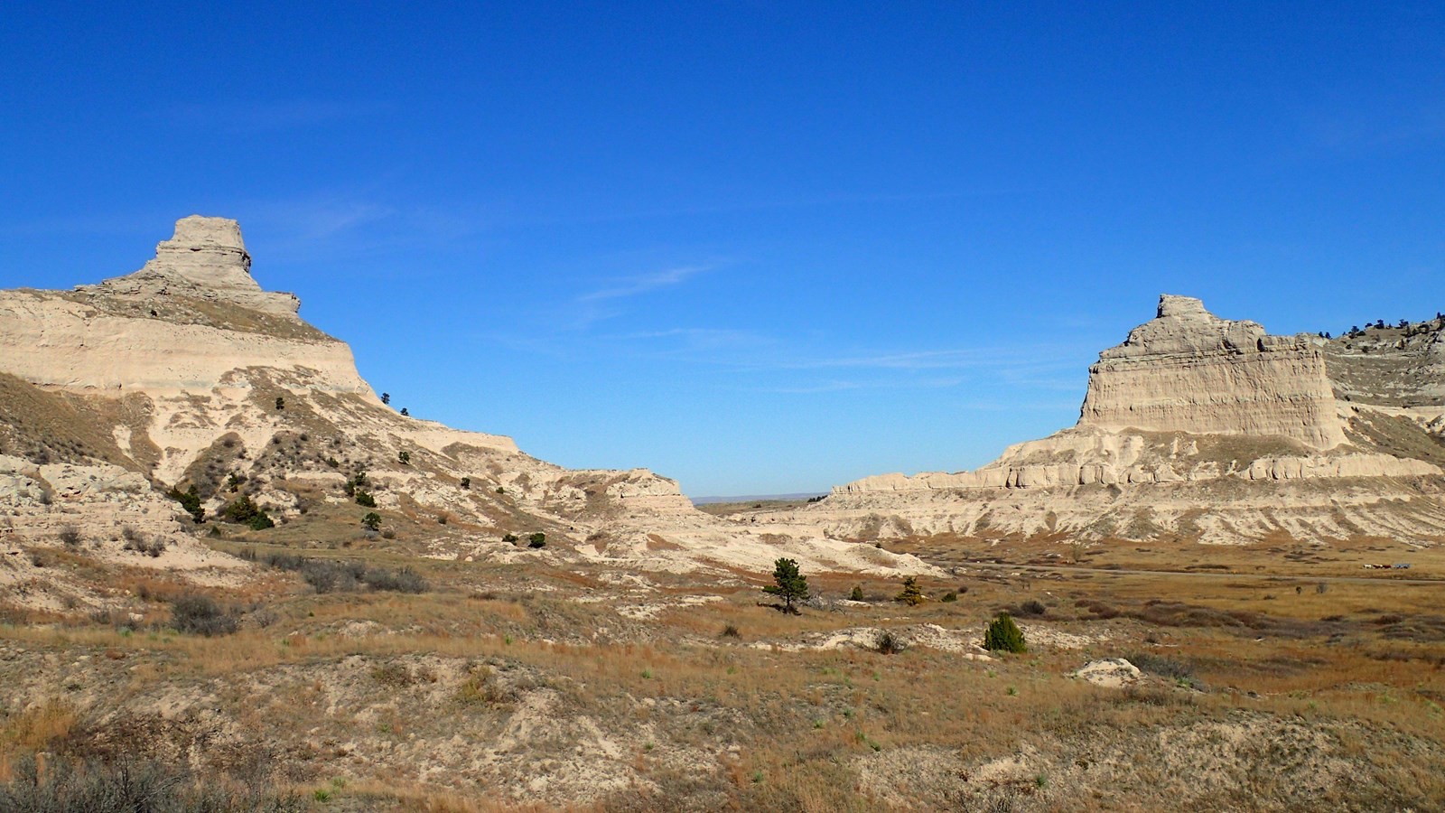
Mitchell Pass
NPS/Eric Grunwald
Quick Facts
Amenities
2 listed
Historical/Interpretive Information/Exhibits, Scenic View/Photo Spot
Mitchell Pass is a gap between Scotts Bluff and South Bluff. In 1850, a wagon road was built through what was then called "Devil's Gap", and it became the primary route for emigrants (pioneers heading west), soldiers, Pony Express riders and the transcontinental telegraph. Prior to 1851, emigrants would have used Robidoux Pass to bypass Scotts Bluff.
In 1851, William Lobenstine wrote in his journal:
"The rock itself is separated nearly at it's middle, having a pass here fifty to sixty feet wide, ascending at both sides perpendicular to a height of three to four hundred feet.
The passage through here was only made possible in 1851 and is now preferred by nearly all emigrants, cutting off a piece of eight miles from the old road."
Mitchell Pass was named for nearby Fort Mitchell, which was named after United States Brigadier General Robert B. Mitchell.
Today, visitors to Scotts Bluff National Monument can walk through Mitchell Pass on the Oregon Trail Pathway, a half-mile long hiking trail.