Last updated: April 29, 2025
Place
Moab Fault Viewpoint
NPS/ Veronica Verdin
Quick Facts
Location:
Arches National Park
Significance:
Geologic Feature
Amenities
2 listed
Parking - Auto, Scenic View/Photo Spot
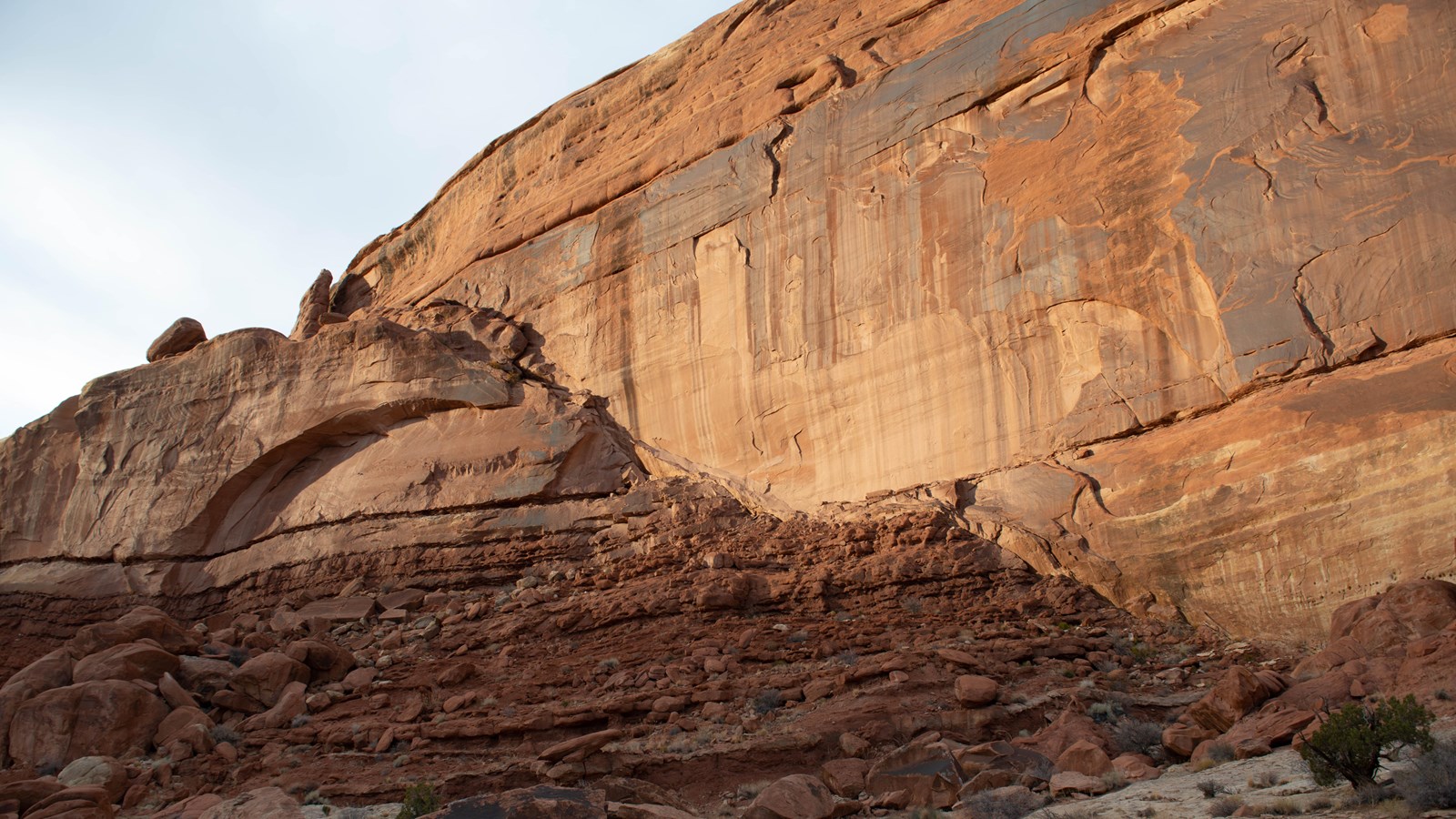
Highway 191 isn't just the road to Arches—it's the site of a dramatic shift in the geologic landscape.
Powerful regional forces moved deep underground here. About 240 million years ago, intense upward pressure caused a miles-long section of the earth’s crust to move. It lifted, buckled, shifted, and cracked. The highway below this viewpoint parallels part of this fracture, called the Moab Fault.
After repeated episodes of uplift, the rock on the other side of the fault had risen over one half-mile (.8 km) compared to the rock on this side. Today, the layers across from you, on the west side of the highway, are 140 million years older than the layers where you’re standing, here on the east side.
Also visible from here are smaller fault lines, where individual rock layers no longer line up horizontally as they once did. Can you spot any? From this viewpoint, look across the park road and above Arches Visitor Center, where a diagonal line separates lower wavy rock from the smooth vertical cliff above.
Accessibility:
The overlook is located along the roadside and is visible from your car. A paved roadside pullout provides parking for 1-3 vehicles. The overlook and interpretive sign sits on uneven sandstone rock.