Last updated: November 2, 2024
Place
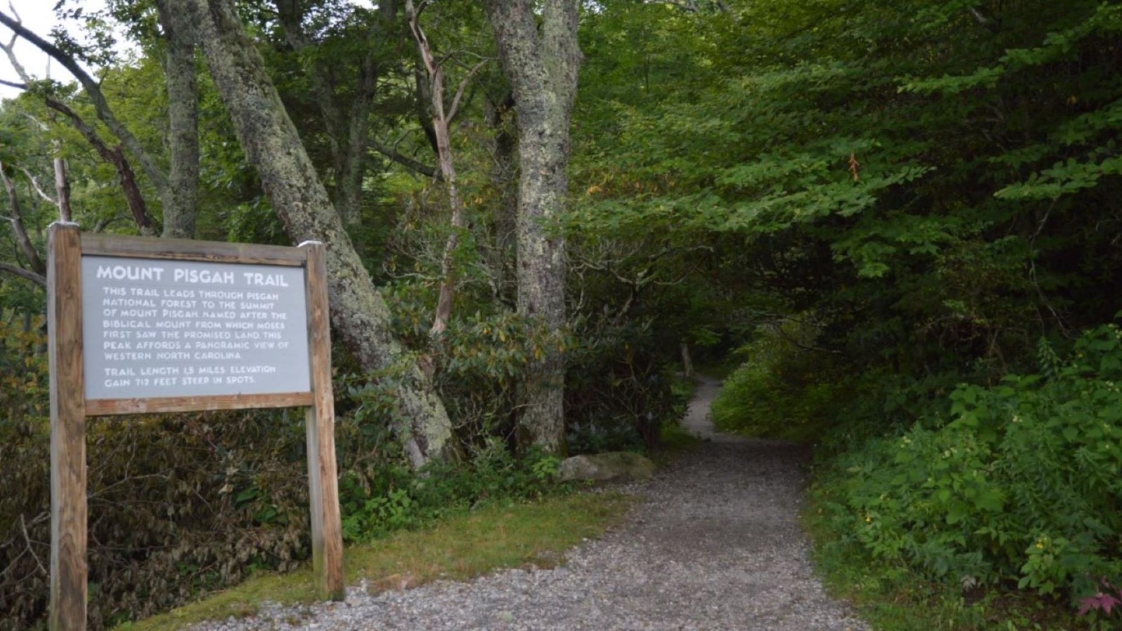
Mount Pisgah Trailhead
NPS Photo / Laura White
Quick Facts
Location:
Milepost 407.6
Significance:
Scenic View Hike
Amenities
3 listed
Historical/Interpretive Information/Exhibits, Parking - Auto, Trailhead
Mount Pisgah is named after the biblical mountain from which Moses first saw the promised land. The first recorded use of the name appeared in this area in 1808. More than two hundred years later, people still flock here for the inspiring views.
The Mount Pisgah Trailhead is located at the far end of the Mount Pisgah parking area at Milepost 407.6. Turn off the Parkway and drive past the Buck Springs Gap Overlook to the end of the road. Nice views are available across rolling mountains from the sidewalk in this parking lot. If you want to know where the trail leads, look for the TV tower on the tallest mountaintop nearby. The local television station has its tower on top of Mount Pisgah. The Mountains-to-Sea Trail (including a portion called the Shut-In Trail) passes nearby here and there is a connector trail from here to the picnic area and campground as well.
It is a 1.6-mile hike to the summit of Mount Pisgah, with an ascent of 712 feet. The latter half of the moderate to strenuous hike is steep and rocky. Plant life is diverse along the initial portion of the trail. Birdsong is rich and musical in spring and early summer. The trail passes through a northern red oak forest with a thick shrub understory and ends at a deciduous heath bald at the summit. It offers a spectacular view, including the French Broad River Valley and Shining Rock Wilderness. On a clear day you can see the City of Asheville.
Check the conditions of the area before you visit.