Last updated: April 9, 2024
Place
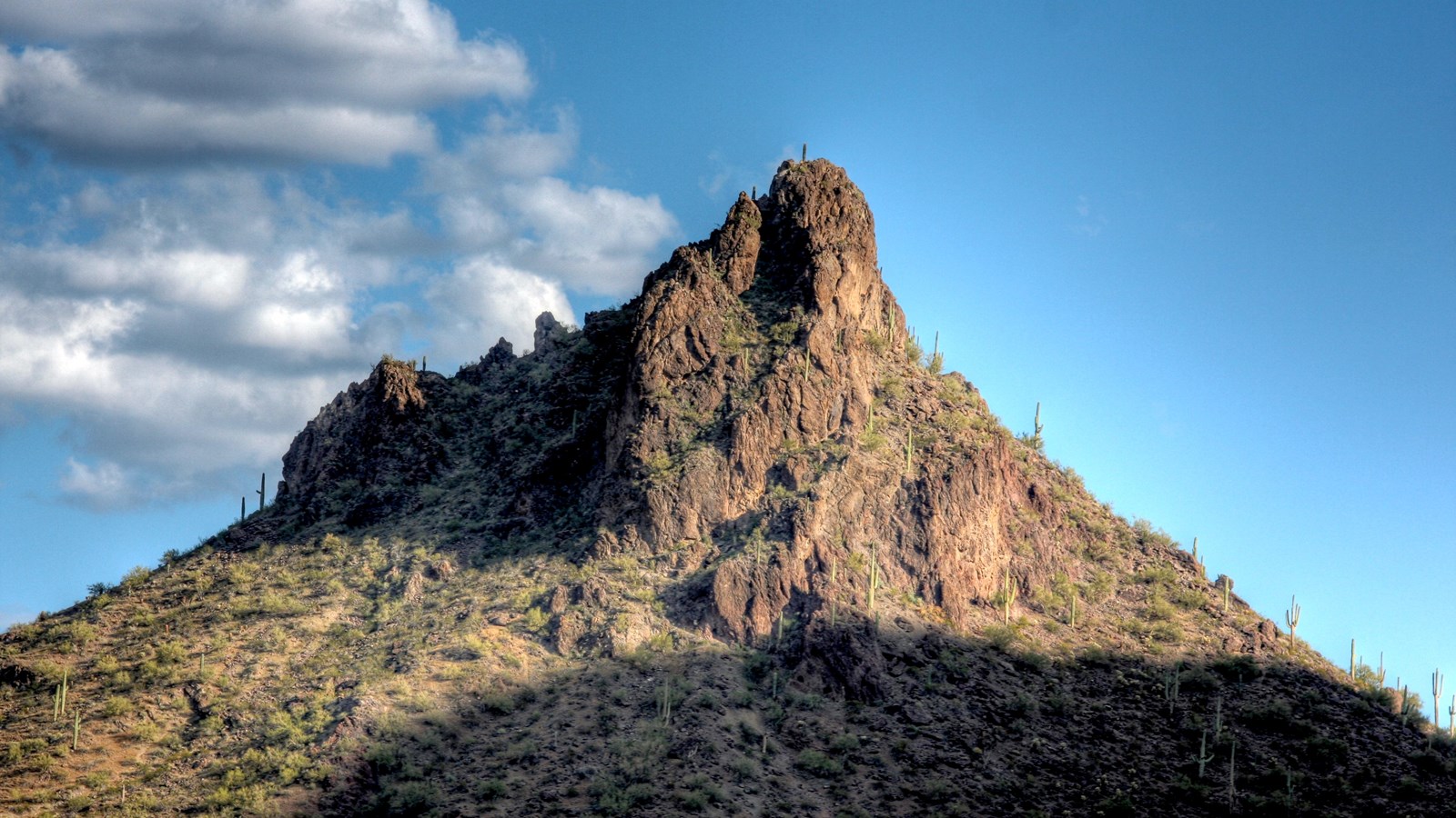
Picacho Peak (Cerro de Tacca)
Kevin Dooley: commons.wikimedia.org/wiki/File:Picacho_Peak.jpg; no changes made
Quick Facts
Location:
Eloy, Arizona
Significance:
Cultural Landscape, Geology, Historic Site
Designation:
Arizona State Park
MANAGED BY:
Amenities
9 listed
Historical/Interpretive Information/Exhibits, Information, Parking - Auto, Parking - Bus/RV, Picnic Shelter/Pavilion, Picnic Table, Restroom, Scenic View/Photo Spot, Trailhead
Picacho, or Cerro de Tacca as it is referred to in the Anza expedition diary of Padre Font, is a prominent landmark between Tucson and Phoenix, Arizona, and has likely been used by travelers as a guide for as long as people have been living in the area. The Anza expedition diaries mention the landmark and on October 29, 1775, the colonists camped at historic Expedition Campsite #21 near the prominent peak.
"October 29 — From the lagoons of Oytaparts we set forth at one in the afternoon, and at a quarter past five we halted a little beyond a peak which the Indians call Tacca"
An NPS Anza Trail Passport Stamp can be found here at the Picacho Peak State Park Visitor Center. This is Anza NHT Passport Stamp #8.
Picacho Peak State Park offers a visitor center with exhibits and a park store, a playground, historical markers, a campground and picnic areas. Many hiking trails traverse the desert landscape and offer hikers both scenic and challenging hikes.