Last updated: June 11, 2024
Place
Portland Park System

Olmsted Archives
Quick Facts
Location:
Portland, OR
Significance:
Olmsted Designed Park
MANAGED BY:
In 1903, the Portland Board of Park Commissioners decided to expand and link parks throughout the city, connecting them and providing Portland with their own lungs of the city. John Charles was already in Portland when the Board made their decision working on the Lewis and Clark Centennial Exposition when asked to develop a park system for Portland.
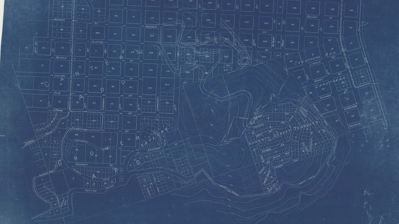
John Charles developed an 18-pint plan for Parkland with various parks and boulevards, many taking advantage of the natural mountain scenery and nearby rivers. John Charles also proposed a scenic drive he called south Hillside Parkway, since renamed to Terwilliger Parkway, the only parkway from the plan fully realized.
Five years after the decision to expand Portland’s parks were made, the city needed a park superintendent, so John Charles recommended his Olmsted Brothers colleague- Emanuel Mische. With John Charles serving as a visiting consultant, Mische continued the implementation of his plan. Today, Portland’s parks and parkways span 12,500 acres, with much of its land acquisitions following John Charles’ plan.
Source: "Portland Park System," The Cultural Landscape Foundation
For more information and primary resources, please visit:
Olmsted Research Guide Online
Olmsted Archives on Flickr
Olmsted Online
