Last updated: September 26, 2023
Place
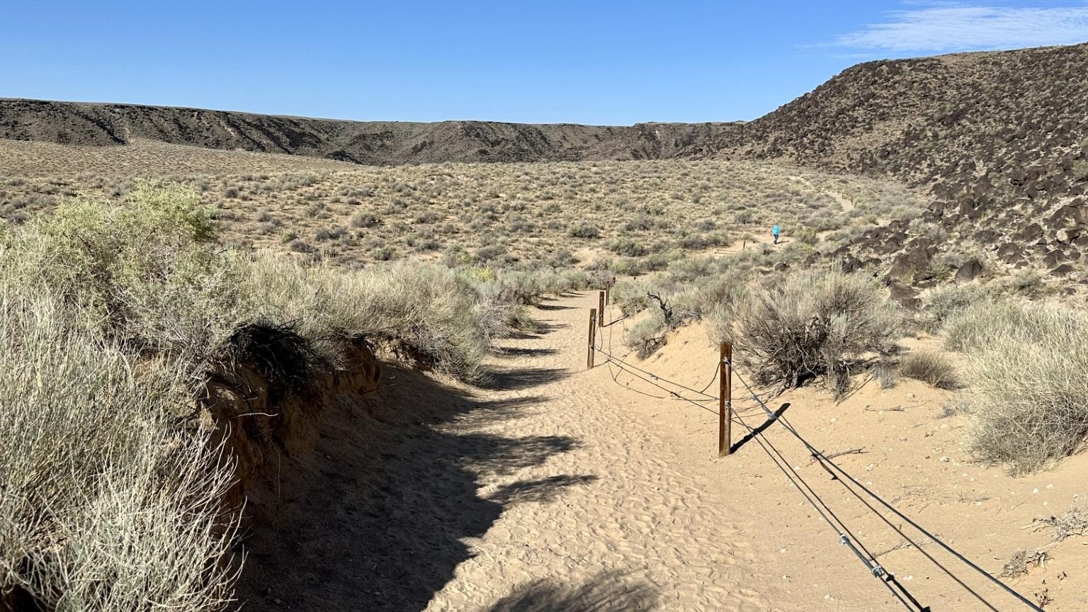
Rinconada Canyon Stop 3
NPS Photo
Quick Facts
Amenities
3 listed
Audio Description, Cellular Signal, Scenic View/Photo Spot
(0.42 miles / .67 km - A high point overlooking alluvial fans to the south and cones to the west)
You have now walked 4/10 of a mile or .64 kilometers and this rise allows you to see more of the geologic forces at work on this landscape. While volcanoes had a major impact on the creation of this canyon, they are only one of the geologic forces that created the environment you see today. Erosion, or the process of breaking down rocks into smaller particles, is just as much part of this land’s story as the volcanoes.
As you walk, you may notice that the sand beneath your feet is tan, a different color than the gray to black basalt of the escarpment. This is because the sand is not from the basalt, but from sediments of much softer rocks that traveled far from the West in the Rio Puerco watershed before settling at Rinconada Canyon. Most of the transport of this fine material occurs due to strong winds carrying the particles across the desert.
However, wind is not the only force of erosion in this arid environment. Occasional floods, typically from mid-summer monsoon rains, can transport large amounts of sediment and rock in a matter of minutes. The record of these floods can be seen in gullies and washes along the Rinconada Canyon Trail. Looking across the canyon, you may see another indicator of sediments carried by water. Near the top of the mesa to the South, there are fan-shaped piles of sediment widening as they go towards the base of the mesa. These aptly named “alluvial fans” show how sediments spread out as they are deposited by flowing water.
Despite the evidence of water-driven sediment transport in Rinconada Canyon, the canyon itself was not primarily carved by flowing water. The size and shape of the canyon was made by the flow of lava from volcanoes. So why did the lava not fill in all of the canyon? This is due to a phenomenon known as “Inverse Topography”. Inverse Topography refers to places where geologists can determine the presence and shape of now-eroded landforms based on what is left behind. Since lava did not fill in the whole canyon, we can conclude that there was a hill blocking the lava’s path at the time the volcanoes erupted, forcing the lava to go around it and create the outline of the canyon we have today. That hill was made of softer rock and has eroded away since the time of the eruptions, leaving only empty space and a scenic canyon behind.
Now that you’ve learned about the geologic history of Rinconada Canyon, next you will learn about and see evidence of the human interaction in this sacred place.