Last updated: December 15, 2020
Place
Stop 10: Rockfall
NPS/Eric Grunwald
Quick Facts
Location:
41.835412, -103.698155
Amenities
1 listed
Scenic View/Photo Spot
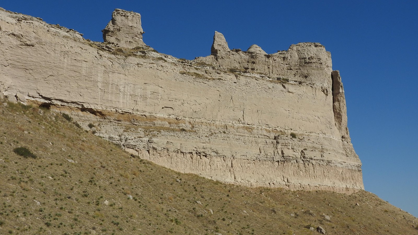
The features described at this stop are located to the northeast, across the ravine near Saddle Rock. First, note how the contact between the Whitney and the Gering is very irregular instead of flat like we saw at the previous stop. Some geologists believe this is evidence that there is no gap in the geologic record here at Scotts Bluff National Monument. Other geologists, however, believe that this contact represents a hiatus of up to four million years at the Monument.
Speaking of millions of years, we tend to think of geology as a very slow process, taking place over the course of millions, if not hundreds of millions of years. Sometimes changes to the landscape happen quickly though. Just below Saddle Rock are the remains of a large rockfall that happened in 1974. Much of the erosion at Scotts Bluff takes place through such rock falls. Another rock fall took place in this same general area in the year 2000. Geologic processes continue to shape Scotts Bluff, sometimes in ways that are very obvious.
To get to the last stop on the Saddle Rock Geology Walking Tour, head down the trail, out of the ravine to an area where the vegetation looks a bit different. In the summer you will notice greener, more verdant vegetation. In the winter you might see a trickle of water off to the right side of the trail.