Last updated: October 10, 2024
Place
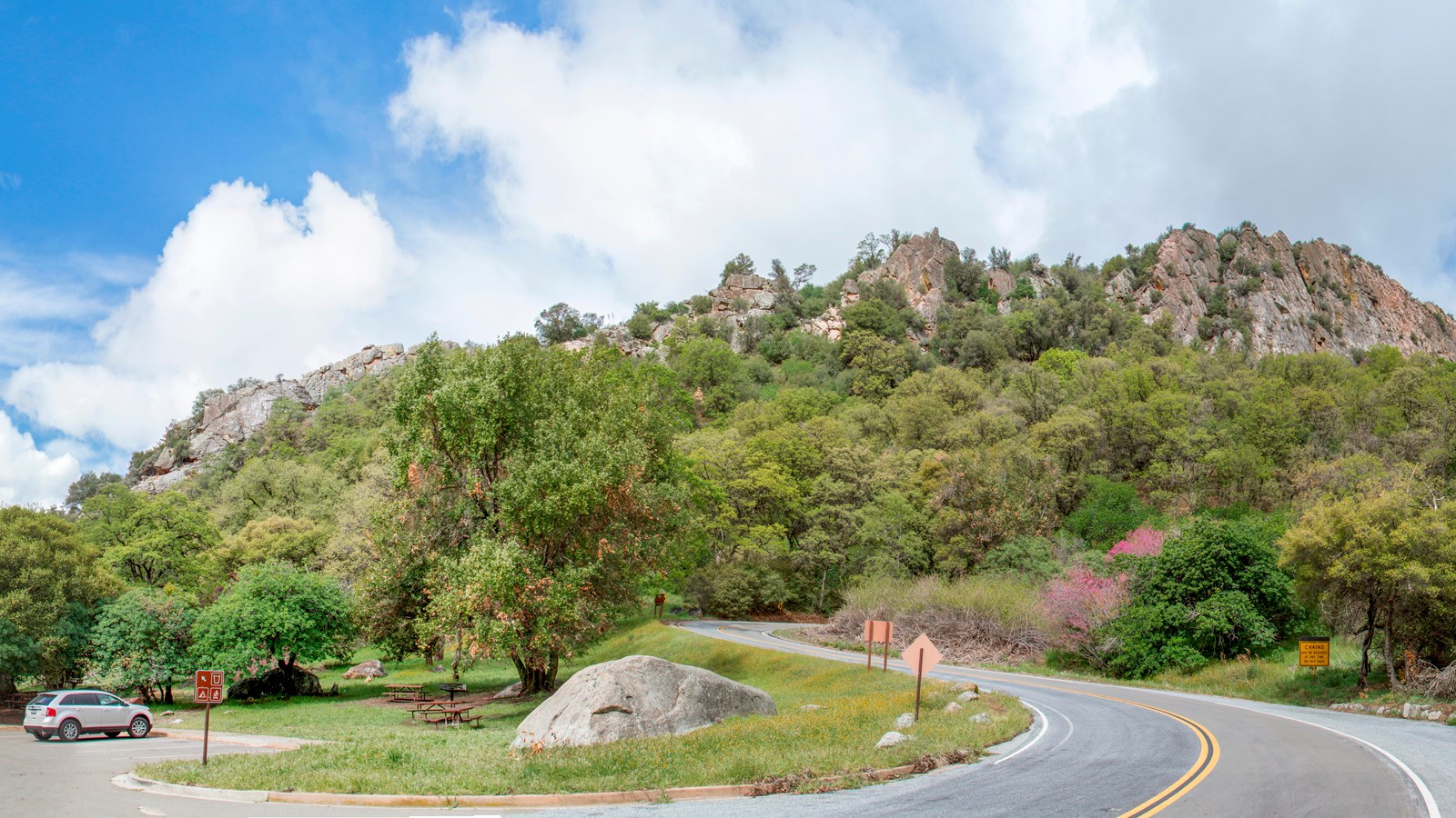
Road Information for Sequoia and Kings Canyon National Parks
NPS Photo / Kirke Wrench
Quick Facts
Location:
Sequoia and Kings Canyon National Parks
Road Information
Wondering which roads are open? Is there construction today? Do I need snow chains?
For up-to-date road information, visit the parks' Road Information webpage. Internet access is required.
Wondering which roads are open? Is there construction today? Do I need snow chains?
For up-to-date road information, visit the parks' Road Information webpage. Internet access is required.
Current Closures at Sequoia and Kings Canyon National Parks
Road and trail closures are shown in red. Area closures are shown in yellow. Individual point closures are shown with black pins. Closures can change at any time and may differ from what is shown on this map.