Last updated: April 1, 2021
Place
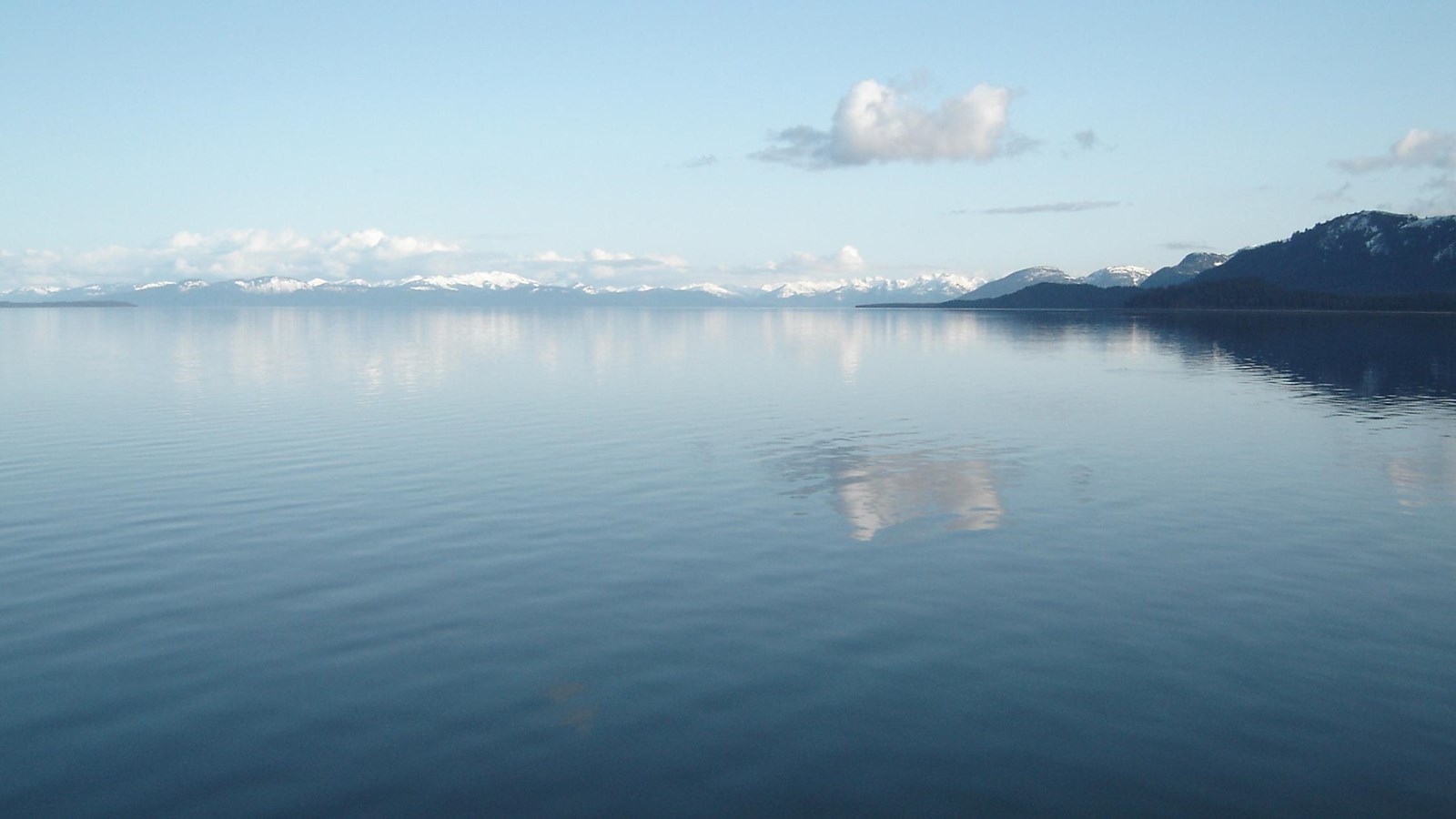
Sitakaday Narrows
NPS Photo/T. Vandenberg
Quick Facts
Location:
58.4950000, -136.0433333
A Rich Swirling Broth
Near the entrance to Glacier Bay is situated Sitakaday Narrows, a natural squeeze point for all the marine waters that move with the changing tides. When the tide retreats all the waters flow towards the mouth of the bay, swirling together as the land squeezes the waters at this point. Deep down in the watery depths rests the remnant moraine of the once-mighty Grand Pacific Glacier, a sill left behind after the glacial retreat from the Little Ice Age. So, the water is squeezed both laterally and vertically. The movement of the deeper water carries nutrients towards the ocean's surface, encouraging a heavy growth of phytoplankton. The massive blooms of plytoplankton feed the enormous appetites of schooling fish such as sandlance, capelin, and lampfish, which in turn feeds numerous larger creatures. The swirling broth you observe here brings life to the surrounding water and islands.
Visit our keyboard shortcuts docs for details
- Duration:
- 2 minutes, 11 seconds
Join Ranger Steve near the entrance to Glacier Bay in a location known as Sitakaday Narrows. Here, water is funneled in and out of Glacier Bay with the tides each day, creating a productive habitat for wildlife.