Last updated: September 26, 2022
Place
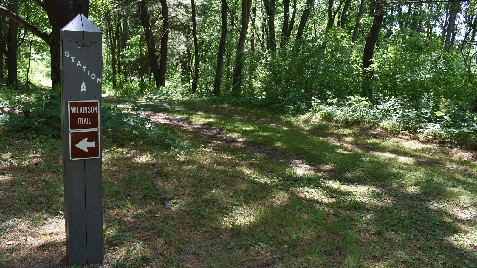
Station A
NPS
"I have always thought Hudson's River the most proper part of the whole continent for opening vigorous operations. Because the course of the river, so beneficial for conveying all the bulky necessaries of an army, is precisely the route that an army ought to take for the great purposes of cutting communications between the Southern and Northern Provinces…."
–General John Burgoyne of His Majesty's British Army
Since the Revolutionary War's opening shots at Lexington and Concord on April 19, 1775, the British had wanted to bring an end to the rebellion in the American colonies. They hoped that 1777 could be the year.
General John Burgoyne, commander of the British forces here at Saratoga, believed the Lake Champlain-Hudson River Valley Corridor would be the best travel route should an invasion become necessary. That belief formed the backbone of British plans to invade New York by marching south from Canada —a daring scheme that would utilize separate armies in an effort to isolate New England, the perceived heart of the rebellion.
In 1777, the plan was put into action...Burgoyne’s British forces invaded south into New York using the natural corridor of waterways. A smaller force under Lieutenant-Colonel Barry St. Leger would support this movement by marching east from Lake Ontario toward the Mohawk River, which they would follow to the Hudson, and meet up with Burgoyne's troops at Albany.
Once in Albany, the combined force would establish communications with General Sir William Howe in New York City --all in the hopes of stopping the American rebellion before France or Spain chose to intervene.
Aware that General Burgoyne's troops were advancing south from Canada, the American forces, under the command of General Horatio Gates, made plans to prevent further invasion. But what made this land the most advantageous site for the Continental Army to take a stand against the advance of the British? Why here?
Consider the landscape around you as you walk. Topography and ground cover played important roles here at Saratoga. The American Army worked to use these factors to their advantage. In September 1777, under the advice of Colonel Thaddeus Kosciuszko, a brilliant Polish engineer serving with the Americans, they chose a raised area a few miles south of here, known as Bemis Heights, to build their fortifications and stop the British advance to Albany.
Bemis Heights overlooked the Hudson River and the road to Albany at a natural "bottleneck" in the river valley. The heights gave a commanding view north, where the British would be advancing from. Dense woodland and difficult ravines prevented the British from traversing the land just east of the river. Swampland and ravines directly beneath Bemis Heights restricted Burgoyne's advance to the river and the road, both of which were highly visible and vulnerable to American forces.
These imposing defenses forced Burgoyne's army to take the only safe route open to them and move inland, away from the Hudson, a few miles north of Bemis Heights.
This historic walking trail loosely follows some of the roads the British used for that move inland, as well as during the Battles of Saratoga, in September and October of 1777. Locating these roads was made possible by using maps drawn at the time by Lieutenant William Cumberland Wilkinson, a British mapmaker serving under British commander General Burgoyne.
Did you know the Revolutionary War is considered America's first civil war? Continue down the small hill to the open field to learn more about difficult decisions people living in America had to make during that turbulent time. Start the next track when you arrive at Station post B.