Last updated: November 16, 2023
Place
Tenn-Tom Waterway/Jamie L Whitten Bridge, Milepost 293.2
NPS Photo - J Farmer
Quick Facts
Location:
A short loop road at milepost 293.2
Significance:
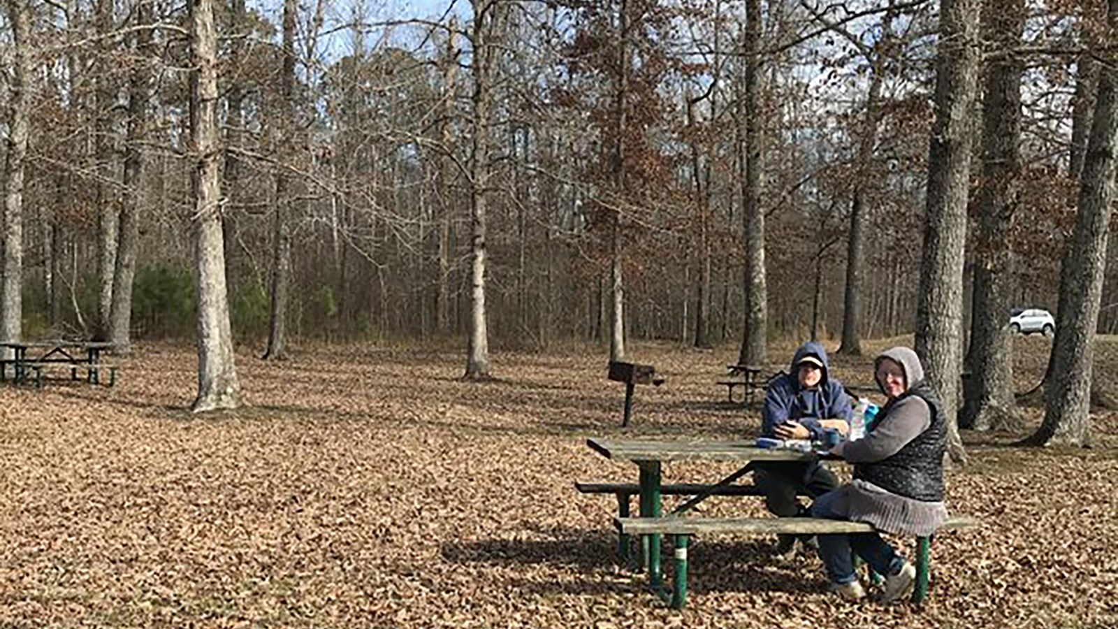
Picnic tables at a channel bank of the largest land moving project in the USA. One mile south of the Jamie Whitten Lock and Dam.
Designation:
Picnic tables, interpretive signs, nearby trail.
Amenities
7 listed
Grill, Information, Parking - Auto, Parking - Bus/RV, Picnic Table, Scenic View/Photo Spot, Trailhead
Land and water meet here. The Jamie L. Whitten bridge on the Natchez Trace Parkway crosses over a section of the 234-mile long Tennessee-Tombigbee (Tenn-Tom) Waterway, the largest land moving project in the United States. The loop road off the Parkway is inundated on both sides with water. Beavers often cause flooding of adjacent agricultural land.Park at the bottom of the loop to access four picnic tables in the shade and a 475-foot paved sidewalk leads to interpretive signs. The sidewalk has small hills at both ends. Use caution with children as there is a sharp drop to the waterway. Remember to keep your dog leashed. The tables and trails do not meet ADA/ABA standards.
The Tenn-Tom Waterway joins the Tennessee River near Pickwick Lake, with the Tombigbee/Black Warrior River in Demopolis, Alabama, allowing water access from middle Tennessee to the Gulf of Mexico. The picnic area is about a mile south of the Jamie Whitten Lock and Dam.
The Tenn-Tom Waterway joins the Tennessee River near Pickwick Lake, with the Tombigbee/Black Warrior River in Demopolis, Alabama, allowing water access from middle Tennessee to the Gulf of Mexico. The picnic area is about a mile south of the Jamie Whitten Lock and Dam.