Last updated: November 25, 2022
Place
The Honey War
Quick Facts
Location:
Muscatine, Iowa
OPEN TO PUBLIC:
No
20 years before British and American forces fought a bloodless war in the San Juan Islands over an imprecise boundary, the States of Iowa and Missouri engaged in a similar conflict. Imprecise treaty language, inept work by the official surveyor, and territorial rivalry led to armed conflict between the two newly settled states. Iowa's claim rested on survey made by John C. Sullivan in 1816 when the United States signed a treaty describing the border between the US and Osage Tribe (at this point in time Iowa and Missouri had not become states or territories). Sullivan, however, did not draw the straight line he intended to, leaving a boundary that edged North as it headed eastward and that varied markedly from the official boundary on maps.
When the state of Missouri was created 3 years later, it inherited the wavering and imprecise boundary that Sullivan had created. But within a decade, the crude earthen mounds which Sullivan had left behind had eroded, making the boundary even more imprecise. In 1837, the state of Missouri sponsored a re-survey which adhered to the treaty language, sort-of. The original treaty language referred to the “Des Moines Rapids”, a turbulent part of the Mississippi River as the endpoint of this line, but the new surveyor instead looked for some sort of rapids in the tranquil Des Moines River. If this new line was accepted, the State of Missouri would gain 2,616 square miles of territory at the expense of Iowa.
The two sides were at an impasse and congress appointed a commission with an Iowan, Missourian, and federal representative, but Missouri soon withdrew its participation as its leaders knew that a mutually agreeable settlement would likely deprive it of some of its land. At this point, three options remained; the inexact Sullivan Line, the Missouri Survey, or a new survey which corrected Sullivan's errors and favored Iowa even more.As this dispute simmered, Missouri government officials decided to enforce their claims by sending a tax collector into disputed territory in July of 1839, which was how Washington State first began to assert territorial control in the years before The Pig War. Residents who felt they lived in Iowa protested to the Iowa governor.
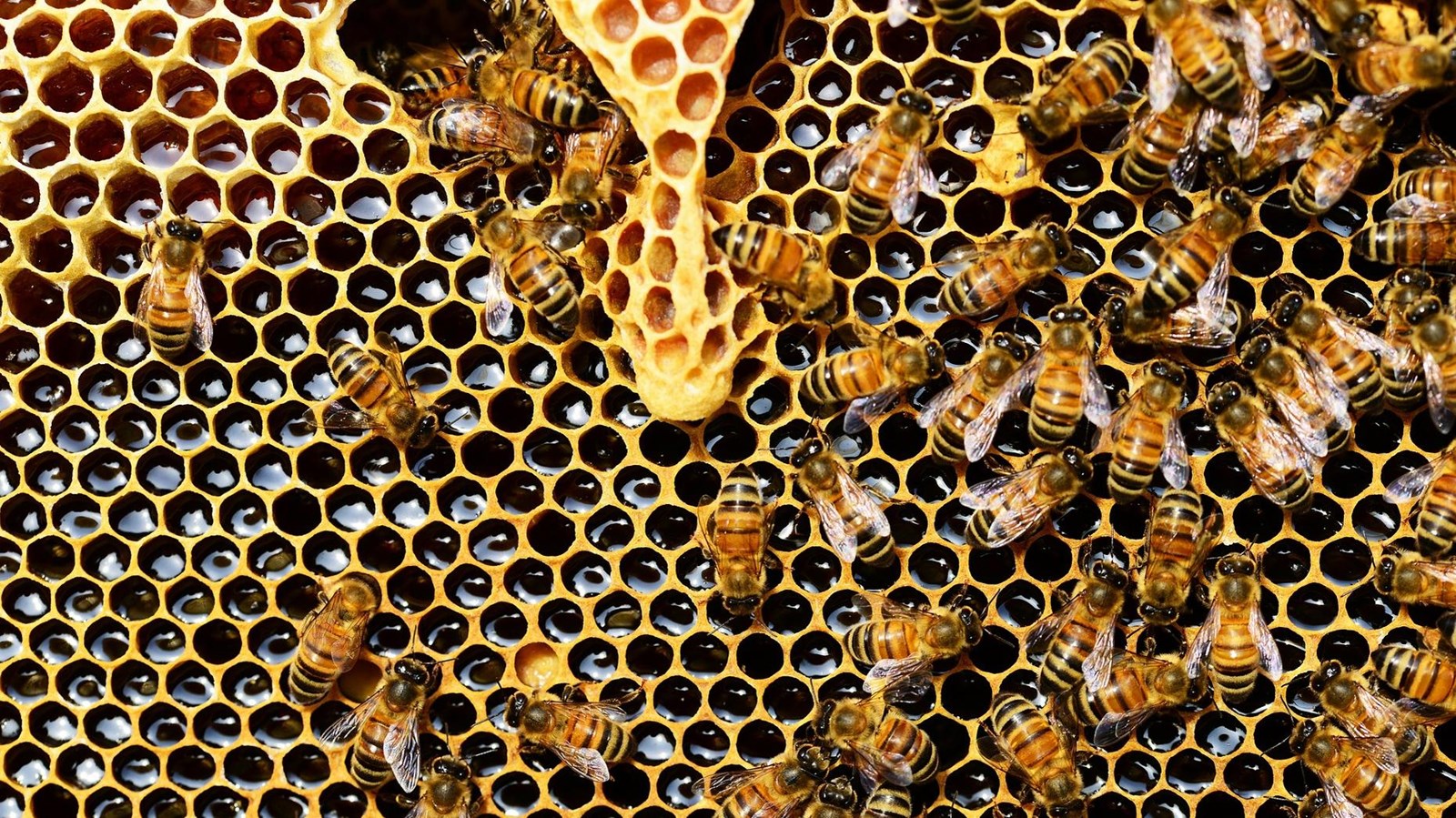
By late August, both states' governments had issued proclamations claiming that the disputed territory was their rightful real estate and that they would use force to maintain it. In October 1839, Missouri Sherriff, Uriah Gregory entered the disputed territory to collect taxes and was forced to return to Missouri or face violence from Iowans. In retaliation, Missouri settlers cut down 4 trees known to be storehouses of honey used by local bees.In November, Sherriff Gregory entered the disputed zone again, was arrested and jailed in Muscatine Iowa for “usurpation of authority.”
Rumors spread in Missouri that he was kidnapped by Iowan farmers, leading Missouri to call out the state militia and between 600-2500 Missouri troops were mobilized. In response, Iowa created its first territorial militia and mobilized troops of its own, with self-provisioned and outdated weapons, including rusty swords left over from the war of 1812, revolutionary war muskets, and farming implements refashioned into weaponry, such as a butter churn dasher and a plow blade on a chain. The Governor of Iowa supplied 5 barrels of whiskey to his hastily improvised army, and at their camp soldiers became eager to vengeance, shouting the battle cry, “Death to the invading pukes!”
Meanwhile, in the Missouri militia's camp discontent brewed as the militia went unpaid. Militiamen divided a deer carcass into two parts, hung them from trees, and declared each to be an effigy of Missouri and Iowa's governors. The soldiers "fired a few rounds at them, until we considered them dead! Dead!!!" The deer meat was then buried with military honors, including gun salutes from the soldiers who had shot it in effigy. Shortly after this bizarre ritual, the two state’s legislatures agreed to let the federal government mediate the boundary and both sides demobilized and withdrew without firing a shot.Though congress issued a boundary proclamation 5 years later, Missouri continued to litigate. Ultimately, the Supreme Court intervened a decade after the conflict and decided that the original Sullivan Line would stand. The two states erected boundaries that roughly conformed to the original boundary. And the only casualties were the bees in those trees. The Honey War was one of numerous bloodless armed conflicts over boundaries in the early United States which provided precedence for The Pig War.
When the state of Missouri was created 3 years later, it inherited the wavering and imprecise boundary that Sullivan had created. But within a decade, the crude earthen mounds which Sullivan had left behind had eroded, making the boundary even more imprecise. In 1837, the state of Missouri sponsored a re-survey which adhered to the treaty language, sort-of. The original treaty language referred to the “Des Moines Rapids”, a turbulent part of the Mississippi River as the endpoint of this line, but the new surveyor instead looked for some sort of rapids in the tranquil Des Moines River. If this new line was accepted, the State of Missouri would gain 2,616 square miles of territory at the expense of Iowa.
The two sides were at an impasse and congress appointed a commission with an Iowan, Missourian, and federal representative, but Missouri soon withdrew its participation as its leaders knew that a mutually agreeable settlement would likely deprive it of some of its land. At this point, three options remained; the inexact Sullivan Line, the Missouri Survey, or a new survey which corrected Sullivan's errors and favored Iowa even more.As this dispute simmered, Missouri government officials decided to enforce their claims by sending a tax collector into disputed territory in July of 1839, which was how Washington State first began to assert territorial control in the years before The Pig War. Residents who felt they lived in Iowa protested to the Iowa governor.
By late August, both states' governments had issued proclamations claiming that the disputed territory was their rightful real estate and that they would use force to maintain it. In October 1839, Missouri Sherriff, Uriah Gregory entered the disputed territory to collect taxes and was forced to return to Missouri or face violence from Iowans. In retaliation, Missouri settlers cut down 4 trees known to be storehouses of honey used by local bees.In November, Sherriff Gregory entered the disputed zone again, was arrested and jailed in Muscatine Iowa for “usurpation of authority.”
Rumors spread in Missouri that he was kidnapped by Iowan farmers, leading Missouri to call out the state militia and between 600-2500 Missouri troops were mobilized. In response, Iowa created its first territorial militia and mobilized troops of its own, with self-provisioned and outdated weapons, including rusty swords left over from the war of 1812, revolutionary war muskets, and farming implements refashioned into weaponry, such as a butter churn dasher and a plow blade on a chain. The Governor of Iowa supplied 5 barrels of whiskey to his hastily improvised army, and at their camp soldiers became eager to vengeance, shouting the battle cry, “Death to the invading pukes!”
Meanwhile, in the Missouri militia's camp discontent brewed as the militia went unpaid. Militiamen divided a deer carcass into two parts, hung them from trees, and declared each to be an effigy of Missouri and Iowa's governors. The soldiers "fired a few rounds at them, until we considered them dead! Dead!!!" The deer meat was then buried with military honors, including gun salutes from the soldiers who had shot it in effigy. Shortly after this bizarre ritual, the two state’s legislatures agreed to let the federal government mediate the boundary and both sides demobilized and withdrew without firing a shot.Though congress issued a boundary proclamation 5 years later, Missouri continued to litigate. Ultimately, the Supreme Court intervened a decade after the conflict and decided that the original Sullivan Line would stand. The two states erected boundaries that roughly conformed to the original boundary. And the only casualties were the bees in those trees. The Honey War was one of numerous bloodless armed conflicts over boundaries in the early United States which provided precedence for The Pig War.