Last updated: November 28, 2023
Place
Three Rivers (Missouri Headwaters)
Denver Public Library Special Collections
Quick Facts
Location:
1585 Trident Rd, Three Forks, MT 59752
Significance:
Meriwether Lewis, William Clark, and their party reached this point in the summer of 1805. Here, they made a decision about what river would take them to the Shoshone people.
Designation:
Lewis and Clark National Historic Trail, Missouri Headwaters State Park, National Historic Landmark
MANAGED BY:
Amenities
17 listed
Accessible Sites, Beach/Water Access, Boat Ramp, Electrical Hookup - Boat/RV, Historical/Interpretive Information/Exhibits, Parking - Auto, Parking - Bus/RV, Pets Allowed, Picnic Table, Scenic View/Photo Spot, Tent Campsites, Toilet - Flush, Toilet - Vault/Composting, Trailhead, Trash/Litter Receptacles, Water - Drinking/Potable, Water - Hookup - Boat/RV
“we begin to feel considerable anxiety with rispect to the Snake [Shoshone] Indians. if we do not find them or some other nation who have horses I fear the successfull issue of our voyage will be very doubtfull or at all events much more difficult in it’s accomplishment.”—Meriwether Lewis, July 27, 1805
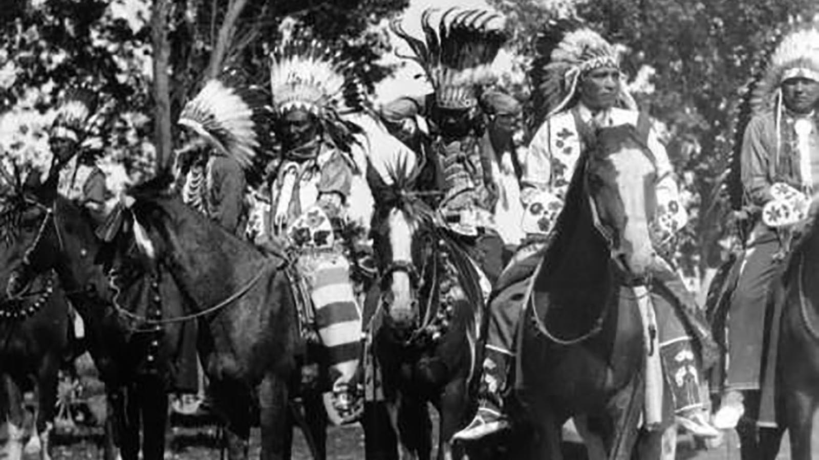
Meriwether Lewis and William Clark knew, from the beginning, that they would only make it to the Pacific Ocean with help from the many Indigenous people who lived in this area.
They also knew what lay on the other side of the snowy Rocky Mountains. They had learned about the great river that that led to the ocean from the Indigenous people who had visited it many times, and the non-Native traders who had docked their ships at the river’s mouth.
When the party reached the Missouri Headwaters, they had two main objectives. First, find the Shoshone people and pay for Shoshone guidance and horses to help carry the expeditions’ things over the mountains. Second, find the pass (again, with help from Shoshone people) that would bring them closest to the Columbia River headwaters. This would shorten their overland journey significantly, since traveling by boat was easier and more efficient than by land.
They looked for signs that someone had recently been at the headwaters but found none. They split into smaller groups to check out the different tributary streams and see which one they wanted to go up.
With no Indigenous people present at the headwaters, their anxiety heightened. Lewis worried how they would decide which of the three forks would bring them to Shoshone communities.
But they had a Shoshone person with them: Sacagawea. She had been here before. Her Shoshone relatives camped here seasonally, and it was at one of these camps that her Hidatsa family captured (or recaptured) her almost five years earlier.
Sacagawea must have known that in July her Shoshone relatives would have still been fishing on the other side of the mountain, along the Lemhi and Salmon Rivers (tributaries to that great river that reached the ocean). She would have known that they did not come over the mountains to this area until September.
Did she try to tell Lewis and Clark? Did they listen?
About this article: This article is part of a series called “Pivotal Places: Stories from the Lewis and Clark National Historic Trail.”
Lewis and Clark NHT Visitor Centers and Museums
This map shows a range of features associated with the Lewis and Clark National Historic Trail, which commemorates the 1803-1806 Lewis and Clark Expedition. The trail spans a large portion of the North American continent, from the Ohio River in Pittsburgh, Pennsylvania, to the mouth of the Columbia River in Oregon and Washington. The trail is comprised of the historic route of the Lewis and Clark Expedition, an auto tour route, high potential historic sites (shown in black), visitor centers (shown in orange), and pivotal places (shown in green). These features can be selected on the map to reveal additional information. Also shown is a base map displaying state boundaries, cities, rivers, and highways. The map conveys how a significant area of the North American continent was traversed by the Lewis and Clark Expedition and indicates the many places where visitors can learn about their journey and experience the landscape through which they traveled.