|
Sequoia and Kings Canyon National Parks are two parks that operate as one unit. This can create some confusion when navigating where to go for the very first time. Each park is separated into multiple ‘districts’, each with their own unique features and highlights like the world-famous General Sherman and General Grant sequoia trees. To learn more about each area within the parks, click on the boxes within the image below. 

Sequoia National Park
Learn more about Sequoia National Park and the features within! 
Foothills
A diverse landscape ruled by the seasons. 
Giant Forest and Lodgepole
Two areas combined into one, Giant Forest and Lodgepole make up a large part of Sequoia National Park. 
Mineral King
A steep, winding road leads to a place of rugged beauty. Between 7,800 – 14,000 feet in elevation it’s the highest accessible location. 
Kings Canyon National Park
Learn more about the features, trails, and locations in Kings Canyon National Park. 
Grant Grove
Originally General Grant National Park, Grant Grove 
Cedar Grove
This district holds the features that gave Kings Canyon National Park it's name. Other Areas of the Parks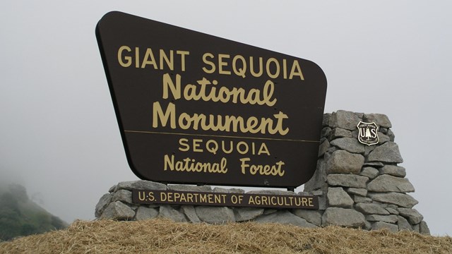
Sequoia National Forest
Just outside national park boundaries, Sequoia National Forest offers camping, lodging restaurants, markets, and more. 
Nearby Attractions
Read more about nearby attractions around the parks. 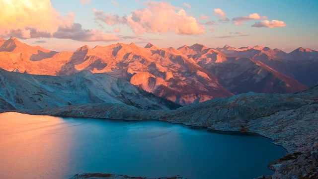
Wilderness
The high Sierra provide outstanding opportunities for recreation. |
Last updated: August 31, 2025