At a national level, the National Interagency Coordination Center (NICC) mission is to serve as focal point for coordination and the national mobilization of resources for wildland fire and other incidents within the United States and for all international responses to wildland fire by the federal agencies.
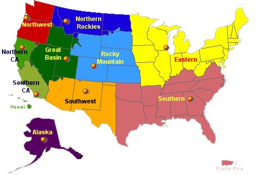
The principle of closest available resources is the guiding factor. As such, the country is divided into 10 Geographic Areas, which are further divided into multiple local dispatch areas.
This system enhances the sharing of information and resources across local, geographic, and national levels.
National Park Service Situation
Information regarding current fires in the national parks can be found in several different locations online. For a listing of official sources of information vist the News page.
NPS
National Situation
Read the Interagency Incident Management Situation Report to learn more about the current national wildland fire picture.
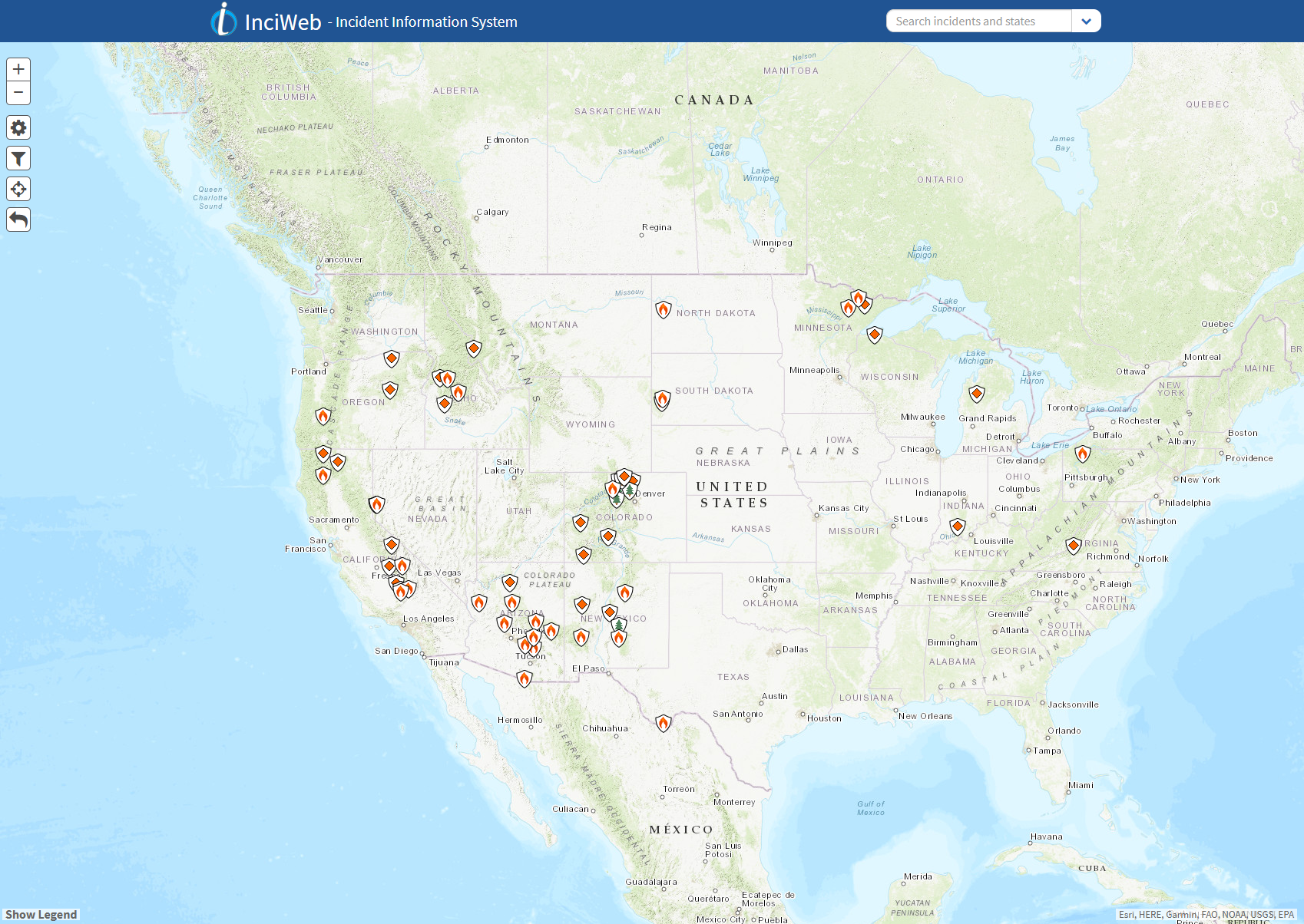
The image to the right shows a screenshot of the InciWeb website which shows fires and other incidents that have a public interest on Federal lands. The image is clickable and will link to the InciWeb Incident Information System.
Note: Not all fires or incidents on Federal lands will be on this map. Please check with the agency or location that you are interested in directly if you do not see the fire or incident on this map.
Last updated: February 1, 2023
