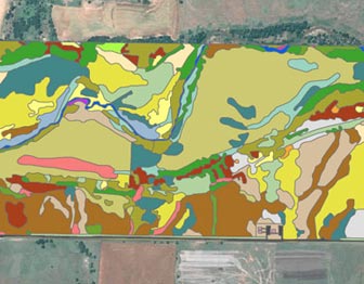
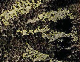
Vegetation mapping is a tool used by botanists, ecologists, and land managers to better understand the abundance, diversity, and distribution of different vegetation types across a landscape. The U.S. Geological Survey (USGS) and the National Park Service (NPS) formed the USGS-NPS Vegetation Mapping Program in 1994 to cooperatively inventory and map vegetation in more than 270 national parks across the United States. The program’s goals are to provide baseline ecological data for park resource managers, obtain data that can be examined in a regional and national context, and provide opportunities for future inventory, monitoring, and research activities.
Last updated: August 4, 2015


