Last updated: January 15, 2025
Lesson Plan
Coordinates and Gridding in Archeology

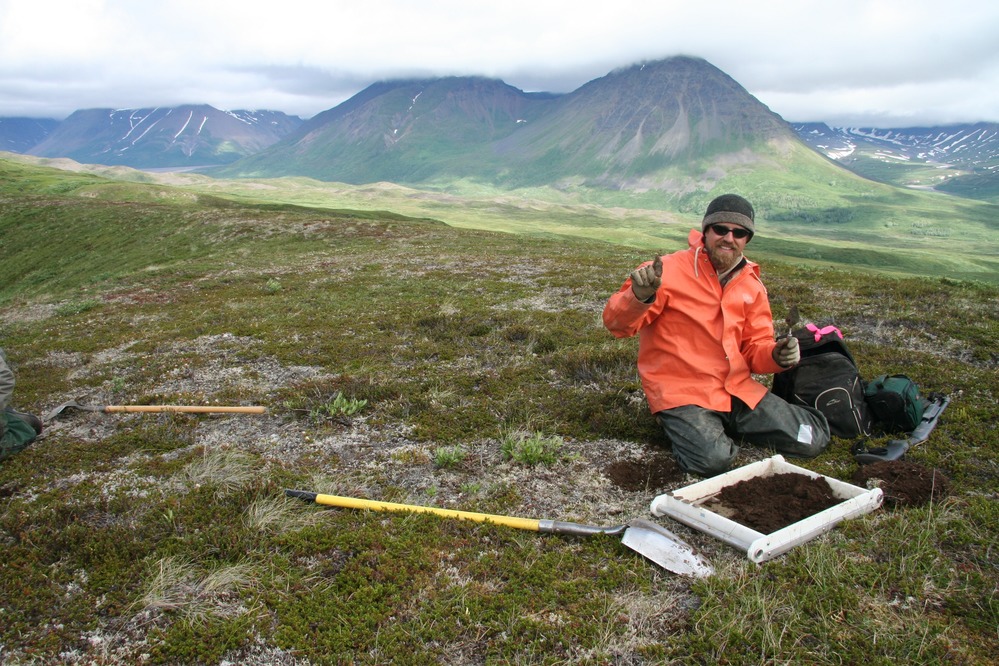
Archeologists work on a grid system to locate their work.
NPS photo.
- Grade Level:
- Upper Elementary: Third Grade through Fifth Grade
- Subject:
- Science,Social Studies
- Lesson Duration:
- 60 Minutes
- Additional Standards:
- National Social Studies Standard Correlation: K-4:2b, 2d, 2f 5-8: 1c, 2d, 2f ( coordinate grids can also be found in state math, science, and social studies standards)
- Thinking Skills:
- Understanding: Understand the main idea of material heard, viewed, or read. Interpret or summarize the ideas in own words. Applying: Apply an abstract idea in a concrete situation to solve a problem or relate it to a prior experience.
Essential Question
How do archeologists record the location of artifacts on a coordinates grid?
Objective
Students will: 1) Use coordinates to label an excavation site and 2) Determine the location of artifacts within the coordinate system.
Background
This lesson plan is one in a series that uses archeology to teach concepts everyone needs to know. It can be used as-is, or be customized with images, objects, or stories representative of a particular park or place. Lesson plans in this series are:
- What Is (and Isn’t) Archeology?
- Inference vs. Observation in Archeology
- Primary vs. Secondary Sources in Archeology
- Stratigraphy and Superposition in Archeology
- Coordinates and Gridding in Archeology
- Attributes and Classification in Archeology
- Protecting Our Archeological Past
Preparation
Print out copies of the file "Excavation Map and the Artifact Location Record" (on paper) and the file "Site Grid" (on transparency sheets).
Materials
Print the excavation map on paper.
Download Excavation Site Map and Artifact Location Record
Print the site grid on transparency sheets.
Lesson Hook/Preview
Point out that the class is on a grid system -- the tiled floor! Explain that the students can record their location (or context) in the room based on the grid.
Tell the students to pay attention as you count off the x (the rows) and y coordinates (the columns) and write down their location in the tile grid. Starting with the columns, count off starting at zero, then repeat with the rows. Have the students shout out their coordinates.
Ask students to answer, What is context? Why does it matter? Discuss for a minute, then direct students to reflect on their context in the classroom grid. Ask leading questions, such as: Why does their location in the classroom matter? How do students experience the classroom differently, based on their context? Why would it matter to an archeologist?
Procedure
Explain to students that the class will learn about why and how archeologists use coordinates and a grid system to record an excavation site. Place them in groups of 3-4 people.
Tell the class that they are a team of archeologists who are recording the coordinates of artifacts found at a site. Their job is to locate the artifacts in the grid and create a site map.
Pass out copies of the Excavation Site Map and Artifact Location Record and the Site Grid to each group. Go through the documents as a class. Look at the Excavation Site Map Sheet and have students use the key to explain the meaning of each symbol. Show the students how to lay the Site Grid over top of the Excavation Site Map Sheet and tape it down.
Instruct the groups to use the Artifact Location Record Sheet to note a coordinate pair and the number of points, sherds, or flakes found there. Go through the process as a group a few times, then the groups should work on their own.
After the groups have completed the worksheets, bring the class back together. Lead a discussion to interpret the grid using the context of the artifacts. Possible questions for discussion include: What did you notice about how the artifacts were grouped together? What artifacts were grouped together? What do you think happened at the places where artifacts were found? What do you think the space between the artifacts means?
Vocabulary
Archeology: The study of the past based on the material evidence that people left behind
Artifact: An object made or used by humans
Context: The place of an archeological resource in space and time
Coordinates: Pairs of numbers that locate a specific point on a grid
Excavation: A methodological process to uncover evidence of the past by systematically digging through earth
Flakes: Thin, sharp-edged pieces taken from a rock core that were shaped into tools or weapons
Grid: The division of an archeological site into small squares that show different areas of excavation
Projectile points: Artifacts such as arrowheads and spearheads
Sherd: A broken fragment of pottery
Contact Information
Email us about this lesson plan
