Last updated: April 26, 2024
Thing to Do
Multi-Park Loop
NPS Photo
Overview:
Did you know that Rock Creek Park connects to many other parks in the region? This hike is a 10-mile loop that will take you to some sites managed by Rock Creek Park in Georgetown. In addition, it connects to the Star-Spangled Banner National Historic Trail, Chesapeake and Ohio Canal National Historical Park, George Washington Memorial Parkway, and the National Mall and Memorial Parks.
Directions:
-
Park your car at Thompson Boat Center. This parking area is metered. Visitors can pay with a card at the box or by using the ParkMobile app.
-
Walk towards the entrance to Thompson Boat Center parking area, and turn left on the paved path. This is the paved Rock Creek Multi-use Trail.
-
You will walk through half of the Rock Creek Park exercise course near the Rock Creek and Potomac Parkway. When you cross the bridge at the half-way point, make a sharp left and follow the dirt trail, the Normanstone Trail.
-
Follow the small park signs towards Montrose Park and Dumbarton Oaks Park. You will walk behind a small tributary that may or may not be dry, depending upon the time of the year. When you reach Lover's Lane, turn right to go to Dumbarton Oaks Park. This park is managed by Rock Creek Park.
-
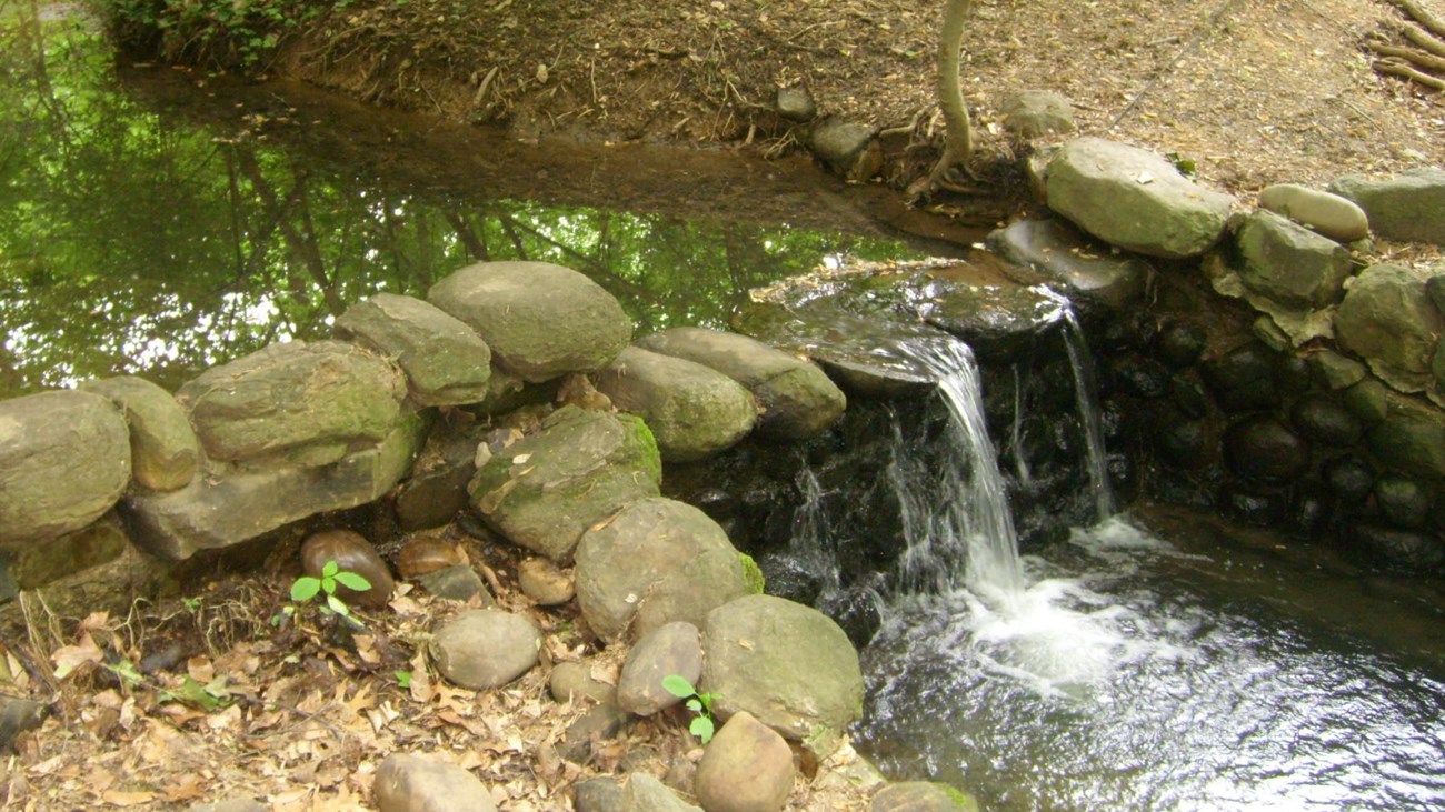
Check out Beatrix Farrand's landscaped wild garden. Follow the trail past the falls, and take the trail to the left when it forks.
-
Follow the fork up to Whitehaven Street NW. Walk towards Wisconsin Avenue NW and carefully cross the road. Pick up the Whitehaven Trail on the other side of Wisconsin Avenue NW.
-
Take the Whitehaven Trail all the way to Glover-Archbold Park. Just before you reach the Foundry Branch (stream), turn left and take the main trail through Glover-Archbold Park.
-
For your safety, follow any detours in place.
-
When you reach M Street NW/Canal Road, turn left and follow the sidewalk a short distance until there's a sharp turn on your left. Follow this trail and go through the tunnel, under Canal Road, and step on to the Chesapeake and Ohio Canal tow path (dirt and stone path).
-
Follow the towpath to the aqueduct, and continue onto K Street NW/Water Street NW.
-
Turn left on 34th Street NW, and continue up the hill. Take the path to the footbridge over the canal.
-
Enter Francis Scott Key Memorial Park. This park is dedicated to the man who wrote the poem that would eventually become our National Anthem. Key lived in a home near this location while he was attorney general for the District of Columbia. His home was heavily altered in the 19th and 20th centuries and was eventually demolished to make way for the Whitehurst Freeway.
-
Follow the sidewalk to the left, and stay on the sidewalk. Cross Key Bridge.
-
Take a left at the end of the bridge. Follow signs for the Custis Trail and Theodore Roosevelt Island.
- Take a brief detour at Theodore Roosevelt Island if you would like. Enjoy the memorial plaza and take in the natural sounds of this 88.5 acre island. Once known as Analostan Island and Mason's Island, this site was once a camp for African American refugees from slavery and Camp Green, a camp for African American troops partly recruited from freedom seekers. This island was where the first United States Colored Troops trained.
- Return to the paved Mount Vernon Trail. Follow the signs to Memorial Bridge.
-
Cross Memorial Bridge, and walk towards the Lincoln Memorial.
-
Restrooms are available at the Lincoln Memorial to the left of the stairs.
-
From the Lincoln Memorial walk up either side of the Reflecting Pool towards the Washington Monument. Stop at the World War II Memorial.
-
Exit through the Atlantic pillar, and follow the path through Constitution Gardens.
-
Cross Constitution Avenue NW, and turn left until you reach Virginia Ave. NW.
-
Turn right on Virginia Avenue NW, and continue until you return to Thompson Boat Center.
This hike allows you to touch on several other trail systems that are accessible from Rock Creek Park. This includes:
-
184.5 miles of the Chesapeake and Ohio Canal
-
830 miles of the Potomac Heritage National Scenic Trail
-
560 miles of the Star-Spangled Banner Trail
-
27 miles of trail along the George Washington Memorial Parkway (Potomac Heritage Trail and Mount Vernon Trail)
-
3,000 miles of trails in the Captain John Smith National Historic Trail
-
680 miles of the Washington-Rochambeau Revolutionary Route National Historic Trail
Details
Activity
Hiking
Pets Allowed
Yes
Pets are allowed on trails within Rock Creek Park but must adhere to the B.A.R.K. Ranger Principles. Dogs must always be on a leash within the park. Waste must be carried out and disposed of in trash receptacles.
For more information on B.A.R.K. Ranger visit the Pets section of the National Park Service website.
For more information on B.A.R.K. Ranger visit the Pets section of the National Park Service website.
Activity Fee
No
Entrance fees may apply, see Fees & Passes information.
Location
Thompson Boat House
Thompson Boat Center is a great place to start. Parking is metered, and visitors are able to pay with either credit card or through the ParkMobile app.
Reservations
No
Season
Year Round
Time of Day
Day
Parks are open during daylight hours.
Accessibility Information
The Normanstone Trail, Whitehaven Trail, and Glover-Archbold Park Trail can be muddy, rugged, and narrow. These trails are not recommended for those who experience difficulty moving over rough terrain. Anyone wanting to attempt this hike can alter it to suit their needs by proceeding through Georgetown and remaining on sidewalks to get to Dumbarton Oaks Park and Montrose Park. Proceeding along city streets will provide visitors with the opportunity to view the architecture of Georgetown homes. The C&O Canal, Mount Vernon Trail and the National Mall are accessible.

Google Maps
Tags
- appalachian national scenic trail
- captain john smith chesapeake national historic trail
- chesapeake & ohio canal national historical park
- george washington memorial parkway
- national mall and memorial parks
- potomac heritage national scenic trail
- rock creek park
- star-spangled banner national historic trail
- theodore roosevelt island
- washington-rochambeau revolutionary route national historic trail
- world war ii memorial
- hike
- hiking
- rock creek park
- landscape achitecture
- chesapeake and ohio canal national historical park
- national mall memorial parks
- lincoln memorial
- memorial bridge
- theodore roosevelt island
- star spangled banner national historic trail
- potomac heritage national scenic trail
- george washington memorial parkway
- captain john smith chesapeake national historic trail
- washington rochambeau revolutionary route national historic trail