Last updated: September 14, 2021
Thing to Do
Boating in the Missouri NRR
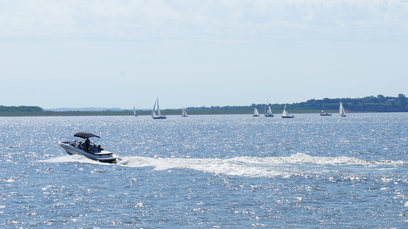
The Missouri National Recreational River offers scenic views and a variety of river opportunities for all boaters. The Missouri River Outdoor Recreation Access Guide shows public access sites for fishing, hunting, boating, and river access on the Nebraska side. There are various water trail/river access points within the Missouri National Recreational River.
Missouri River Mileage
River mileage begins at the mouth of the Missouri just north of St. Louis, MO. From river mile 0 to 752 (near Ponca State Park, NE), the river is channelized for barge navigation. Two "natural" river segments comprise the Missouri National Recreational River. These reaches are located at: 59 miles between Ponca, NE, (river mile 752) and Gavins Point Dam (river mile 811) and 40 miles between Running Water, SD, (river mile 840) and Fort Randall Dam (river mile 880).
A long, shallow and braided delta exists at the upstream end (headwaters) of Lewis and Clark Lake behind Gavins Point Dam. Also, the Niobrara River has formed a delta in the Missouri River on the upstream side of the headwaters. Extent of both deltas are from river mile 827 to river mile 847.
Details
Activity
Boating
Pets Allowed
Yes
Activity Fee
Yes
Our state park partners may charge fees.
Reservations
No
Season
Year Round
Time of Day
Any Time
Accessibility Information
Missouri National Recreational River is a spectacular river that can present difficult challenges for visitors with disabilities. Improvements in accessibility are being made each year and with a bit of pre-planning, all visitors can find Missouri National Recreational River to be a rewarding experience.
- Accessible parking, trails and picnic facilities are available at Niobrara State Park (402-857-3373). A bridge for anglers with disabilities spans the Niobrara River in the northern section of the park; access is from the north side of the town of Niobrara.
- Ponca State Park (402-755-2284) has accessible parking, picnic shelters, and cabins. The park's visitor center is accessible for visitors with disabilities.
- Lewis and Clark Visitor Center (South Dakota side) is accessible for visitors with disabilities. Two fishing piers for anglers with disabilities are at Lake Yankton, just below Gavins Point Dam; others are on the Missouri River by Nebraska Tailwaters campground and just outside the Chief White Crane campground.