Last updated: November 29, 2021
Thing to Do
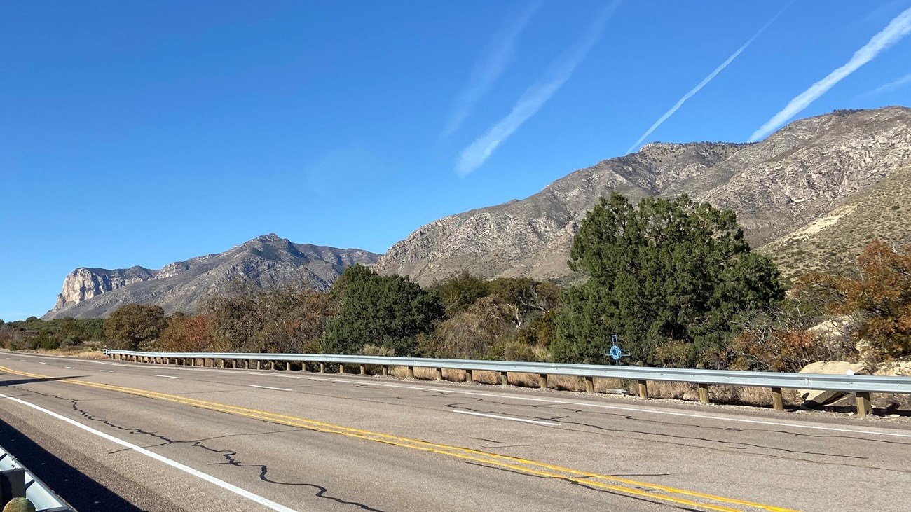
Highway 62/180 to the Guadalupes
NPS photo
Every visitor to Guadalupe Mountains National Park travels U.S Highway 62/180. Connecting El Paso, Texas to Carlsbad, New Mexico, the highway provides breath-taking views of the park from the north, south, and west. The highway enters the park for five miles and a series of access roads provide access to park features.
Heading Northeast (from El Paso)
On a clear day near sunset, it's possible to see the western escarpment as far as fifty miles away. In the area of Dell City, Texas are excellent views of the adjacent salt flats and the western side of the mountains. Numerous roadside pulloffs allow for photo opportunities as you approach the park and the mountains.
Heading Southwest (from Carlsbad)
In the area of Carlsbad, U.S. Highway 62/180 is known as the National Parks Highway, as it connect to both Guadalupe Mountains and Carlsbad Caverns National Parks. In the area of White's City, New Mexico the eastern escarpment of the Guadalupe Mountains becomes visible, thirty miles to the south. A pulloff at the state line and a nearby Texas Rest Area provide excellent views from the north.
Details
Duration
1-4 Hours
Beginning in either Carlsbad, New Mexico or El Paso, Texas, the Guadalupe Mountains can be seen up to forty miles in the distance as you approach the park.
Activity
Scenic Driving
This drive can be done in either direction from Carlsbad, New Mexico to the area of Dell City, Texas or ninety miles west from the El Paso area.
Pets Allowed
Yes with Restrictions
Pets disturb wildlife and are not allowed on trails. Your pets must remain in your vehicle as opportunities for pets are very limited in the park.
Activity Fee
Yes
While U.S. Highway 62/180 has no fee to travel, a park entry fee is required for all adult visitors if stopping in the park.
Location
Not a drive-through park
No roads pass through the heart of Guadalupe Mountains National Park. However, a series of roads lead to, and provide access within the park.
U.S. Highway 62/180 provides the primary access to the park, with a number of spur roads leading into the park. From the south, Texas State Highway 54 leads directly to the Guadalupes from Van Horn, Texas. The Dell City Agricultural Loop consisting of FM1437 and 1576 connect to the Williams Road and access to the Salt Basin Dunes. New Mexico State Road 137 and the Dark Canyon Road (CR 408) provide access to Dog Canyon from U.S. Highway 62/180 in New Mexico.
U.S. Highway 62/180 provides the primary access to the park, with a number of spur roads leading into the park. From the south, Texas State Highway 54 leads directly to the Guadalupes from Van Horn, Texas. The Dell City Agricultural Loop consisting of FM1437 and 1576 connect to the Williams Road and access to the Salt Basin Dunes. New Mexico State Road 137 and the Dark Canyon Road (CR 408) provide access to Dog Canyon from U.S. Highway 62/180 in New Mexico.
Reservations
No
Season
Year Round
Conditions on Guadalupe Pass can vary due to seasonal weather conditions and high winds. Use caution.
Time of Day
Day, Dawn, Dusk
Be mindful of wildlife crossing the highway, especially at dawn and dusk.
Accessibility Information
Highway 62/180 is paved. Pullouts along the highway will have variable conditions, ranging from dirt to accessible facilities. The Texas rest area ten miles north of the park has fully accessible facilities.
Success
Thank you. Your feedback has been received.
Error
alert message
