Last updated: September 8, 2022
Thing to Do
Hanford: Hike Candy Mountain
© REBECCA BURGHART
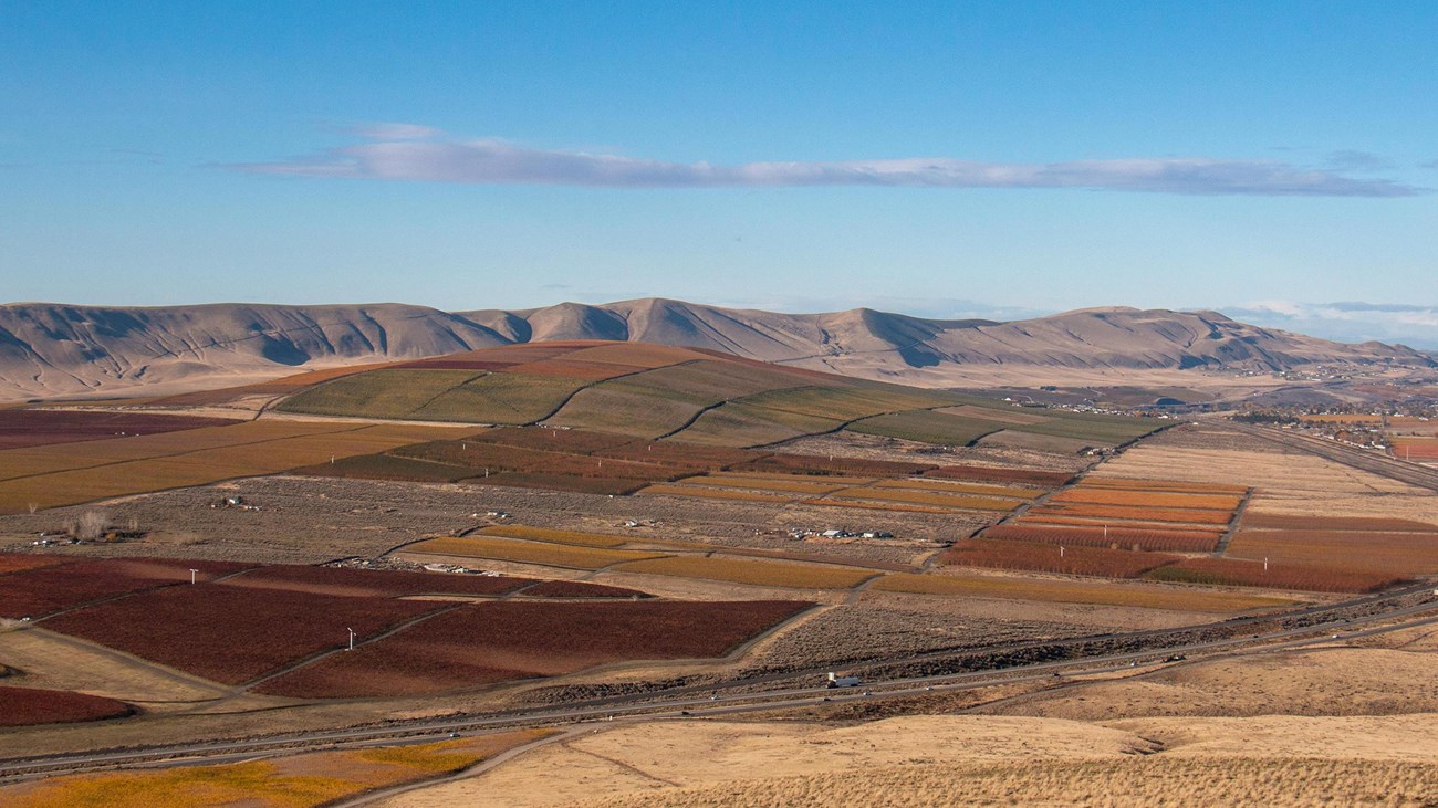
On a clear day the summit of Candy Mountain reveals panoramic views of the Tri-Cities region and the Hanford Site. As you enjoy the 3.6 mile (5.8 km) roundtrip hike, you will pass markers that explain the impact of the ice age floods on area geography. The summit offers sweeping 360-degree views and a sign that identifies the areas of the Hanford Site involved in plutonium production.
Hiking Tips
Make sure to bring plenty of water and wear breathable, light clothes if you go in the spring and summer months. The best time to visit are in the spring and fall when temperatures and conditions are more moderate. The Candy Mountain trail is one of the most popular trails in the Richland area so you should expect to see other hikers. There is no shade on this trail, so sunscreen, hat, and sunglasses are recommended.
Trail Basics
The Candy Mountain trail begins near the base of Candy Mountain. The road to the trailhead is partially paved and partially gravel with good nearby directional signage. The main trail is a 3.6 mile (5.8 km) out and back trail, while the smaller interpretive loop that does not climb the mountain is 1.2 miles (1.9 km) long.
Getting There
From Richland/West Richland, drive down Keene Boulevard headed westbound until you reach the Bombing Range Road traffic circle. Take the exit toward the mountain. Proceed up the road until just prior to I-182 and watch for the Candy Mountain Preserve sign on your left. Turn right when you see the sign and drive up the private road. You’ll see a sign on your right directing you into the parking lot.
Details
Duration
1-2 Hours
Activity
Hiking
Pets Allowed
Yes
Activity Fee
No
Entrance fees may apply, see Fees & Passes information.
Location
Hike Candy Mountain
71004 E 669 PR NE, Richland, WA 99352
Reservations
No
Season
Year Round
Time of Day
Day
Accessibility Information
For information on accessibility, call Benton County Facilities/Parks Department at 509-736-3053. For more general information visit Benton County's website.