Last updated: December 12, 2024
Thing to Do
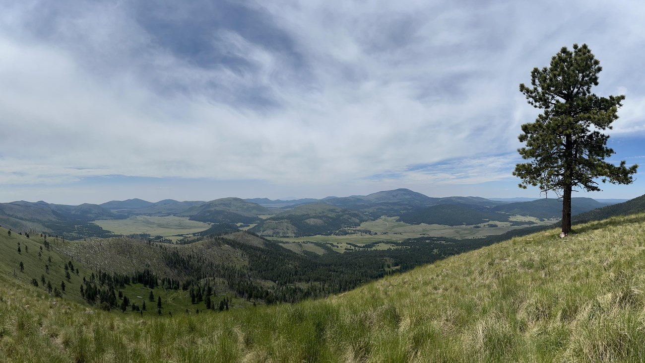
Hike the Garita Trail
NPS/C. Daly
This strenuous, 7.6-mile (12.2 km) out-and-back route climbs steeply up the north rim of the caldera to reach the northern boundary fence line and then terminates in a lovely high meadow with spectacular views of the entire preserve. This route gains almost 1,800 feet in just 3.8 miles.
Elevation: 8,556 - 10,335 feet
Elevation: 8,556 - 10,335 feet
Details
Duration
3-5 Hours
Activity
Backcountry Hiking
Pets Allowed
No
Activity Fee
Yes
As of January 1, 2025, a park entrance fee is required to enter Valles Caldera National Preserve.
Location
Garita Trailhead
Garita Trailhead is a locked cable gate marked VC12 on the north side of the road, about 1.6 miles east of the T-junction. Park in a small dirt pull-out adjacent to the trailhead along the road. Backcountry pass required for vehicle access.
Reservations
Yes
Vehicular access to Valles Caldera's backcountry route is limited to 40 public vehicles per day. Passes can be reserved on Recreation.gov up to 3 months in advance.
Season
Spring, Summer, Fall
Valles Caldera's backcountry is closed to vehicular traffic from November 15 - May 14.
Time of Day
Day
Accessibility Information
This unpaved, natural surface trail has extremely steep grades. Service animals are permitted.