Last updated: December 12, 2024
Thing to Do
Hike the Jemez River Trail
NPS/S. Gayner
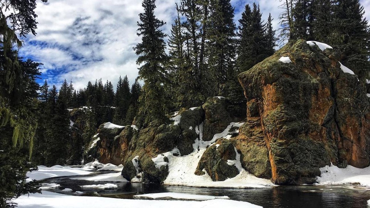
This 3.4-mile (5.5 km) out-and-back trail features breathtaking views along the East Fork Jemez River as it flows toward the southwestern corner of the preserve. The trail initially climbs up a hill with outstanding views of Valle Grande and then drops down into the canyon of the East Fork. From here, you'll hike downstream, passing volcanic rock formations along the way. Some parts of the trail may be marshy.
Use extra caution on this trail in the winter. The trail follows the stream very closely in places, so snowy conditions can cover up the stream, causing hikers to step into the water by accident.
Elevation: 8,406 - 8,573 feet
Use extra caution on this trail in the winter. The trail follows the stream very closely in places, so snowy conditions can cover up the stream, causing hikers to step into the water by accident.
Elevation: 8,406 - 8,573 feet
Details
Duration
2-3 Hours
Activity
Front-Country Hiking
Pets Allowed
No
Activity Fee
Yes
As of January 1, 2025, a park entrance fee is required to enter Valles Caldera National Preserve.
Location
Jemez River Trailhead
The Jemez River Trailhead is a locked cable gate at a gravel two-track road on the west side of the main entrance road, about 1/2 mile from the entrance gate. Please do not block the gate; park beside the entrance road. No backcountry pass required.
Reservations
No
Season
Year Round
Use extra caution on this trail in the winter. The trail follows the stream very closely in places, so snowy conditions can cover up the stream, causing hikers to step into the water by accident.
Time of Day
Day
Accessibility Information
This unpaved, natural surface trail has steep grades for the first half mile. The trail then narrows significantly and follows a stream through a marshy area. Service animals are permitted.