Last updated: August 12, 2025
Thing to Do
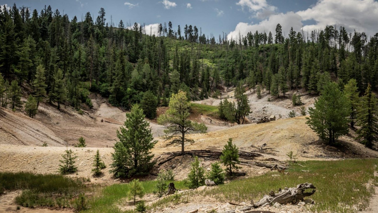
Hike to Sulphur Springs
NPS/Irene Owsley
A 0.5-mile (0.8 km) walk along the Sulphur Creek Trail leads hikers to Sulphur Springs, a site bubbling with geothermal features like acidic hot and cold springs, mudpots, and fumaroles. This area was once used for sulfur mining, geothermal energy exploration, and a hot springs health resort/spa.
For details about the geothermal features you'll encounter, check out the self-guided Sulphur Springs Geology Tour in the National Park Service smartphone app!
Elevation: 8,069 - 8,147 feet
For details about the geothermal features you'll encounter, check out the self-guided Sulphur Springs Geology Tour in the National Park Service smartphone app!
Elevation: 8,069 - 8,147 feet
Details
Duration
30-60 Minutes
Although it's a short walk to Sulphur Springs, visitors will likely want to spend time exploring the geothermal area on-foot to discover features like steam vents and mudpots. Check out the self-guided Sulphur Springs Geology Tour in the National Park Service smartphone app!
Activity
Front-Country Hiking
Pets Allowed
No
Activity Fee
Yes
As of January 1, 2025, a park entrance fee is required to enter Valles Caldera National Preserve.
Location
Sulphur Creek Trailhead
The Sulphur Creek Trailhead is at a locked iron gate marked VC08, about 2 miles from the junction of Sulphur Creek Road/Forest Road 105 and NM 4 at mile marker 27. There is a small dirt pull-out adjacent to the trailhead along Forest Road 105. Backcountry vehicle pass not required. Not suitable for oversized vehicles.
Reservations
No
Season
Spring, Summer, Fall
The last mile of Sulphur Creek Road/FR 105 gets very rough in the winter and is often impassable by vehicle.
Time of Day
Day
Open daily from dawn to dusk.
Accessibility Information
The gravel path that leads to Sulphur Springs is relatively flat. Service animals permitted.