Last updated: August 26, 2024
Thing to Do
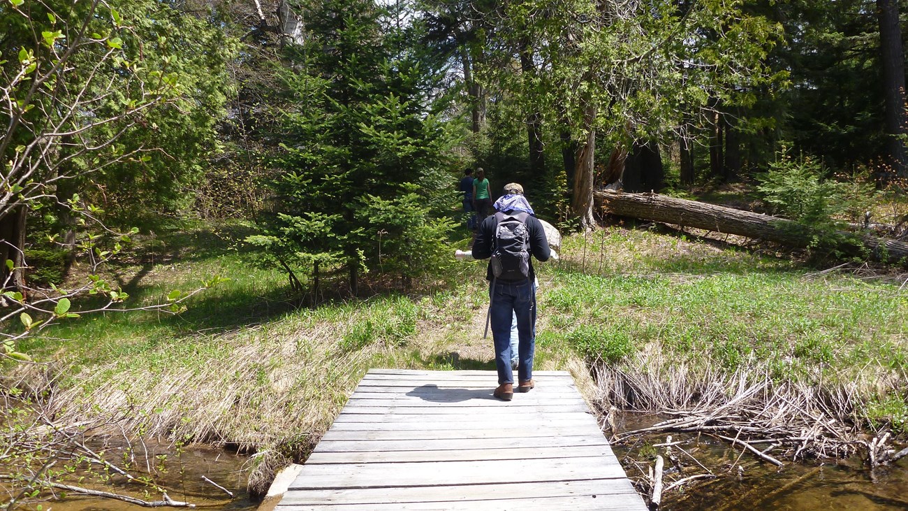
Walks and Hikes Over a Mile
NPS photo
Miners Falls Trail - Length: 1.2 miles roundtrip. This easy trail takes you through the forest to Miners River, where the park's most powerful waterfall cascades 50 feet over a sandstone cliff. Take another 64 steps down to a lower platform. Leashed pets allowed.
Miners Castle to Miners Beach - Length: 2.0 miles roundtrip. Part of the North Country Scenic Trail. Take the trail from Miners Castle downhill to Miners Beach, crossing the Miners River along the way. Enjoy the beach and then hike back up - or shorten the walk by having a friend pick you up in the Miners Beach parking lot. Pets not allowed on the trail. (However pets are allowed at Miners Castle and at Miners Beach - just not on the trail between the two.)
Sable Creek Trail - Length: 2.0 miles roundtrip. Pretty wooded walk between the Grand Sable Visitor Center and the Sable Falls area. Part of the North Country Scenic Trail. The trail offers a stroll through a mature maple forest, along Sable Creek, and through an old farm field. Also intersects the Grand Sable Dunes Trail at 0.8 miles. Pets not allowed.
Au Sable Light Station - Length: 3.0 miles roundtrip. Leaving from Hurricane River Campground, walk on the old access road (part of the North Country Scenic Trail) back in time to an isolated Lake Superior lighthouse. Exposed shipwreck remains dot the shoreline, and the quiet light station gives you a feeling of yesteryear where families lived and worked from 1874 to 1958. Guided tours of the lighthouse are provided in summer. Leashed pets allowed on road and light station grounds. Bicycles are NOT allowed on this road.
White Birch Trail - Length: 2.0 miles one way. Self-guided interpretive trail at Twelvemile Beach Campground explores the natural history of the uplands adjacent to the lake - an environment very different from that near the campground. Non-campers park at the day-use area and walk through the campground to Site 6, where trail begins. The trail will end on the campground road, one-quarter mile east of the trailhead. Leashed pets allowed.
CHAPEL BASIN / MOSQUITO AREA - A number of different trails and hikes are available here. All hikes begin at the Chapel/Mosquito trailhead parking lot, at the end of Chapel Road. View and download this map (pdf) before you hike these trails. NO PETS allowed on any of the trails or beaches in this area.
Note: Primitive road to trailhead parking with deep pot holes and washouts. LIMITED PARKING AT TRAILHEAD - plan to arrive early in the day.
-
Mosquito Falls - Length: 2.0 miles roundtrip. From the Chapel parking lot, head towards Mosquito Beach. At 0.3 miles take a side trail that leads 0.7 miles to Mosquito Falls. The Mosquito River cascades in short falls over three rock shelves, the highest being 8 feet. Pets not allowed.
-
Chapel Falls - Length: 2.5 miles roundtrip. Leaving from the Chapel parking lot, this easy hike runs along an old roadbed through upland maple forest to stunning, 60-foot high Chapel Falls. Pets not allowed.
-
Mosquito Beach - Length: 3.9 miles roundtrip straight out and back; 4.5 miles via loop back past Mosquito Falls. Trail is usually very muddy and rough. Follow the trail from the Chapel parking lot through lowland hemlock and mixed forest to Mosquito Beach. This beautiful beach is bordered by stunning rock cliffs and sandstone terraces. Return on same trail or continue on loop and return past Mosquito Falls. Pets not allowed.
-
Chapel Rock & Chapel Beach - Length: 6.2 miles roundtrip. Trail passes Chapel Falls and continues to Chapel Rock and Chapel Beach. Take pictures, but keep off Chapel Rock. Return the way you came or make a loop by taking the forest trail back along the north/west side of Chapel Lake. Pets not allowed.
-
Chapel Loop - Length: Full loop, including Mosquito Falls, is 10.5 miles from the parking lot (longer from the road). This popular loop begins at the Chapel parking lot, passes Chapel Falls, Chapel Rock, Chapel Beach and continues along the Pictured Rocks cliffs to Mosquito River and Beach, and back to the parking lot on the outer loop trail past Mosquito Falls. Or you can follow the loop in the other direction! Pets not allowed. Note: Walk carefully along this cliff edge!
BEAVER BASIN WILDERNESS - Several hikes can be made in the Beaver Basin area leaving from the day-use trailhead parking lot near the end of Little Beaver Lake Road. Pets not allowed anywhere in the wilderness zone.
-
Beaver Basin Wilderness Loop - Length: 5.5 mile loop. Enjoy this scenic and diverse hike through several forest types, around the north side of Beaver Lake, along Beaver Creek, and back along part of the North Country Scenic Trail near Lake Superior. Pets not allowed.
NORTH COUNTRY SCENIC TRAIL (formerly called the Lakeshore Trail) - Length: Up to 42 miles (through the park). In addition to some of the trails listed above, there are other North Country Scenic Trail segments in the park, like Miners Castle to Sand Point, or Log Slide to Au Sable Light Station. No pets allowed on this trail except in certain limited areas. Check at a visitor center for more information.
Visit the park's Day Hikes webpage for more "Things to Know" about hiking at Pictured Rocks.
Details
Duration
1-5 Hours
Hikes can take as little as an hour or can last most of the day.
Activity
Hiking
Pets Allowed
Yes with Restrictions
Where pets are allowed, they must be leashed.
Miners Falls Trails - Pets allowed.
Miners Castle / Miners Beach - Pets are allowed at Miners Castle and at Miners Beach - just not on the trail between the two.
Chapel Basin / Mosquito Area - No pets allowed on any of the trails in this area.
Beaver Basin Wilderness - No pets allowed on any trail within the wilderness.
White Birch Trail - Pets allowed.
Au Sable Light Station - Pets allowed on access road and light station grounds.
Sable Creek Trail - No pets.
North Country Scenic Trail segments (formerly called the Lakeshore Trail) - No pets allowed on this trail except in limited areas.
Activity Fee
No
Entrance fees may apply, see Fees & Passes information.
Location
Pictured Rocks National Lakeshore
Most of the longer hikes in the park are located in the middle, in the Chapel/Mosquito area or the Beaver Basin.
Reservations
No
Season
Year Round
Summer and fall are the most popular seasons for hiking, but visitors can take long winter snowshoe hikes also.
Time of Day
Day, Dawn, Dusk
Accessibility Information
Most longer hikes are along dirt paths with slopes, rock steps, sand, mud, roots, or uneven terrain. Official service dogs are allowed on these hikes. We recommend that you talk with a ranger about specific hike conditions before setting out.