Last updated: December 20, 2024
Thing to Do
Panther Winter Trail
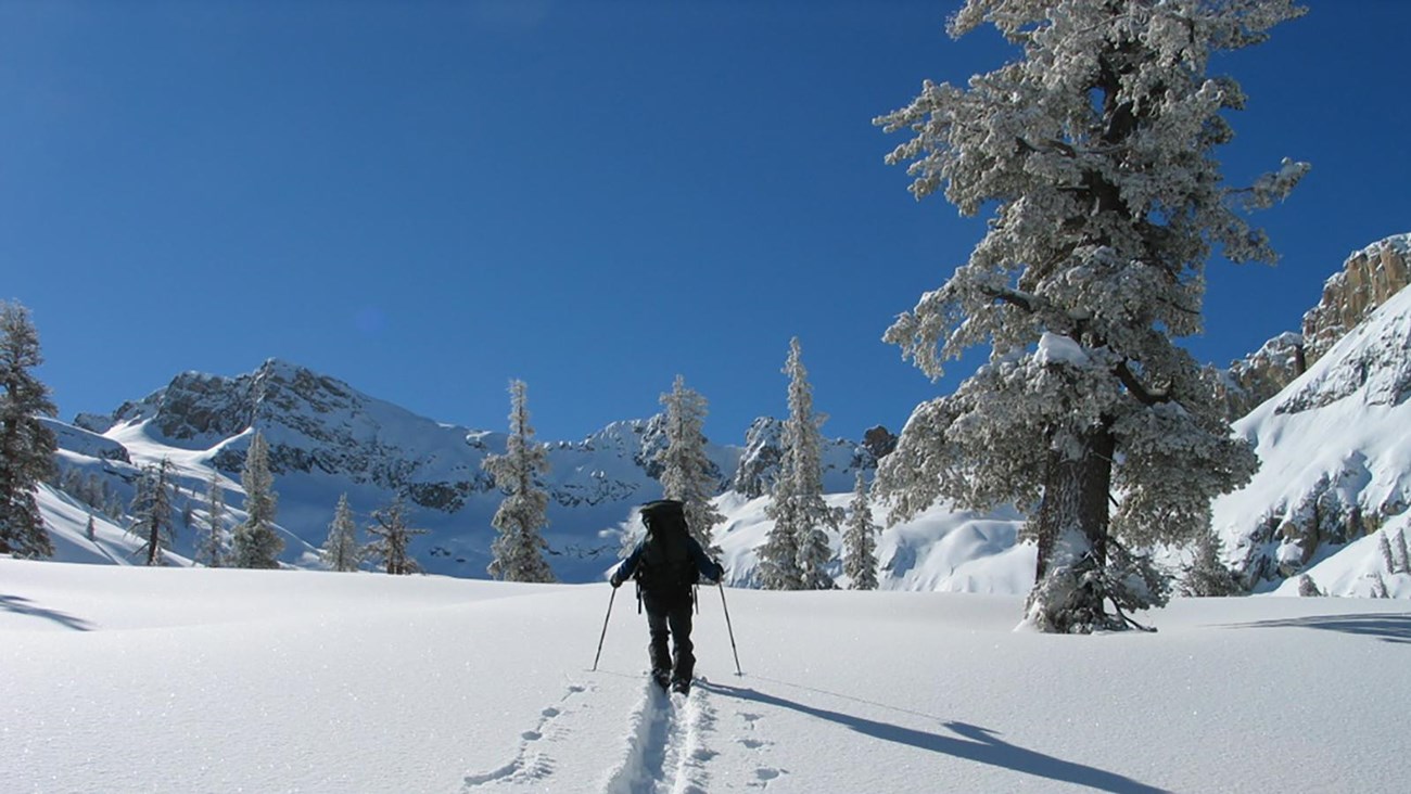
Taking its name from Panther Gap (8,600 feet), the Panther Trail is part of a difficult loop for experienced skiers. The route begins 1.2 miles from Wolverton, via the Pear Lake Trail, and ends with the junction with the Alta Trail, one mile from Wolverton. Steep grades and dense forests guard the great views from Panther Gap. Overnight camping is allowed in the vicinity of Panther Gap, wilderness permits are required.
Trail Information
Trail Information
- Trailhead: WolvertonDistance: 7 miles (11.3 km) loop from Wolverton via Pear Lake Trail, Panther Trail, and Alta Trail; 4 miles between Pear Lake and Alta Trails
- Difficulty: Medium / Hard
- Elevation Gain/Loss: 1548 ft / 1170 ft
- Approximate Round Trip: 4 – 6 hours
Details
Duration
4-6 Hours
The duration will vary depending on fitness level, snow conditions, and length of time spent at trail features.
Activity
Cross-Country Skiing
This trail is designated as a cross-country ski trail, but can also be used for snowshoeing. Due to the snowy and icy conditions on the trail, hiking without traction devices is not recommended.
Pets Allowed
No
Activity Fee
No
Entrance fees may apply, see Fees & Passes information.
Location
Wolverton Parking Area
Trail begins at the Lakes Trail Trailhead in the Wolverton parking area.
Reservations
No
Accessibility Information
There are accessible parking spots and accessible flush toilets available at the Wolverton parking lot.

Route Marker Information
Trails that are buried under snow are very difficult to follow, so it is best to stick to trails marked for winter travel. Ski trails - open to skiing, snowshoe, and hiking - are marked by different symbols nailed to trees along their routes.
The route marker for the Panther winter trail is a yellow triangle with a symbol of a panther within it.
Caution
Please do not snowshoe or walk directly on ski tracks. The tread of snowshoes (or boots) can create divots and ruin carefully laid ski tracks, creating hazards for skiers. Skiers/snowshoers going uphill yield to those going downhill. Fill in depressions in the snow after falling to reduce hazards to others. Visit our Skiing and Snowshoeing page for safety tips, guidance, and snowshoe ranger program information.
More on Winter Trails in the Parks
-
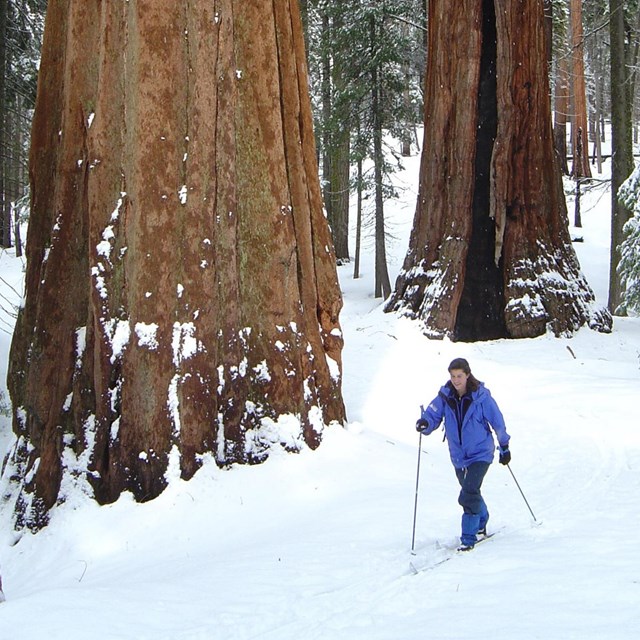 Skiing and Snowshoeing
Ski and snowshoe trails offer a way to travel through Giant Forest and Grant Grove in winter.
-
 Winter Activities
Learn about other winter activities in the parks.
-
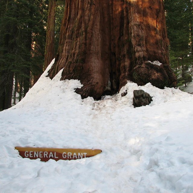 Grant Grove Winter Trails
Learn what winter trails are available in the Grant Grove area.