Moderate to Strenuous, 4.5 - 6.5 miles (7.2 - 10.5 km) round trip, 3 - 4 hours
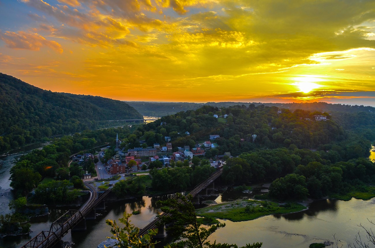
The Maryland Heights Trail offers hikers the opportunity to see many aspects of Harpers Ferry NHP on one walk: spectacular scenery, geology, Civil War, industrial, and transportation history. The quickest route to the Maryland Heights Overlook is 4.5 miles round trip from the Master Armorer's House. The Stone Fort Loop trail adds another 2 miles.
- Trail is open during daylight hours. Closed from sunset to sunrise.
- We recommend that visitors park at the Visitor Center parking area and use the park’s free shuttle system or the Visitor Center to Lower Town Trail to access the trail from Lower Town.
- From the Master Armorer's House in Lower Town turn right to merge with the Appalachian Trail at the end of Shenandoah Street, then proceed under the railroad trestle out to the Point. Cross the footbridge over the Potomac River and go down the spiral staircase to the C&O Canal Towpath. Turn left (upstream) and follow the C&O Canal Towpath for 0.3 miles, then cross a small wooden footbridge over the canal bed to Harpers Ferry Road. Directly across the road is the Maryland Heights trailhead.
- The first bend on this green-blazed trail offers a nice view of the Potomac. Go straight at the first intersection to a see the 1862 Naval Battery, then return to the green-blazed trail and turn right. At the next two intersections stay straight on the red-blazed Overlook Cliff Trail. About 0.3 miles turn right for a narrow, rocky descent 0.5 miles to the cliffs overlooking Harpers Ferry.
- Backtrack to the first intersection with the blue-blazed Stone Fort Trail. Hike one mile uphill past Civil War artillery batteries and through boulders to the Civil War Stone Fort. The trail curves out of the Stone Fort past breastworks and descends steeply over one mile back to the green-blazed trail. Turn right and backtrack to the C&O Canal Towpath.
- Drinking water is not available on this trail. Water is available at the Visitor Center and in Lower Town.
- Restrooms are not available on this trail. The closest restrooms can be found at the Visitor Center and in Lower Town.
- Be prepared to carry out all of your trash.

