An official website of the United States government
Here's how you know
Official websites use .gov A
.gov website belongs to an official government
organization in the United States.
Secure .gov websites use HTTPS A
lock (
) or https:// means you've safely connected to
the .gov website. Share sensitive information only on official,
secure websites.
A map of Camp Nelson showing the US Army base in early 1866.
National Archives and Records Administration
3-Year City
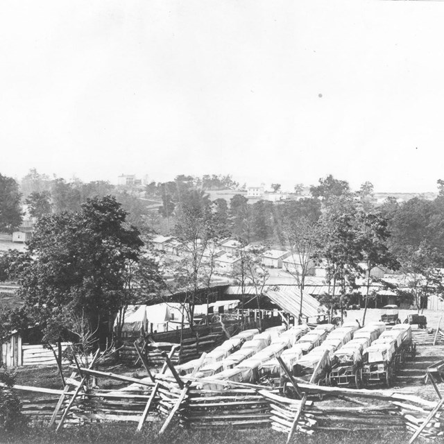
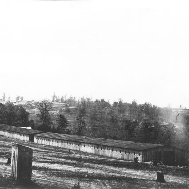
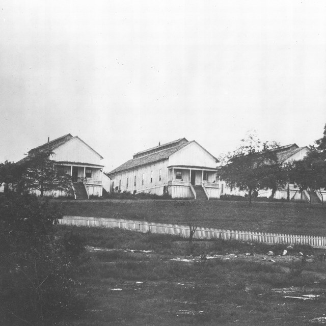
The banks, at this point, are precipitous cliffs of limestone which render the east and west sides practically impregnable, while the earthworks on the north side are very strong. When Burnside established his headquarters here last May but a few tents could be seen; the land was covered with a well-night unbroken forest. Now there are immense storehouses, extensive barracks, and stables, and acres of tents.
- William P. Hopkins, December 25, 1863, The Seventh Regiment Rhode Island Volunteers in the Civil War
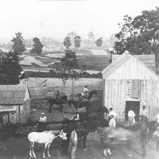
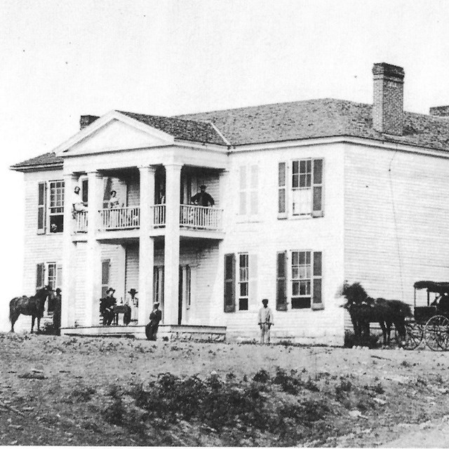
At its height, Camp Nelson experienced one of the largest concentrations of people in Kentucky during the Civil War. The US Army base served a multitude of roles: logisitical and supply depot; hospital and convalescent camp; horse and mule rehabilitation center; and major recruitment centers for soldiers in the Department of the Ohio. It fueled military operations in East Tennessee, Western Virginia, and Georgia. Tens of thousands of soldiers, civilians, refugees, and enslaved people found themselves at the 4,000 acre post during its 3-year existence [1863-66]. Camp Nelson was comprised of multiple places, both small and large, and designed for military and civilian use. Each one provides an insight into the struggle to determine the course of America's future during and after the Civil War. The military installation is long gone, but the places that defined Camp Nelson continue to reveal the stories of people who worked, struggled, died, and survived here.