News Release

NPS Photo
|
Subscribe
|
Contact: Katie Liming
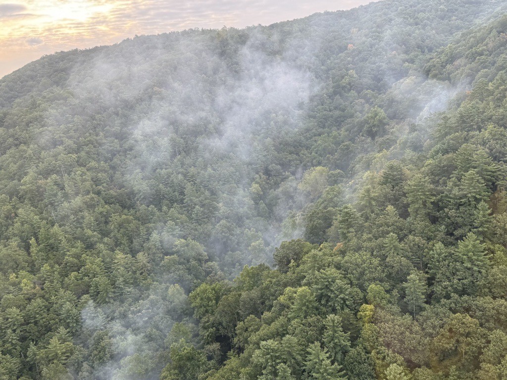
GATLINBURG, Tenn.—Current mapping estimates the Flint Gap Fire to now be 46 acres. Within the perimeter, few areas are actively burning and only low intensity flames were visible this week. The fire is presently 0% contained.
There was minimal fire activity yesterday and there was light rain in the afternoon. Rain will likely slow, but not extinguish the fire due to the dense tree canopy and thick layer of duff (buildup of leaves and plant material) in this area. Increased wind is expected in the next few days, but fire staff do not expect significant fire growth this weekend.
Fire staff continue to develop options to mitigate safety concerns in order to transport firefighters and equipment safely to the backcountry. Efforts are underway to create options that would allow for quickly evacuating firefighters in case of injury.
Resources on the fire include ground crews and a Type 3 helicopter. Park management and fire staff are ordering more resources; however, many resources are currently in use given the number of active wildfires, particularly out west.
The park received a report of the fire near Hannah Mountain, south of Abrams Creek, the evening of Aug. 26. An investigation revealed several days later that the fire was started by lightning. No structures are threatened at this time.
Parson Branch Road as well as some park trails and backcountry campsites are currently closed due to fire activity. Check the park website for road closures and other updates before visiting. All fire updates are available on the park website.
-NPS-
Descriptive Transcript
Aerial footage above the Flint Gap Fire in Great Smoky Mountains National Park. The video pans across rolling mountains with mostly green vegetation and some pockets of fall colors. Plumes of smoke come into view every few seconds as the helicopter moves across the area. In the distance throughout the video, rolling mountains are visible.
- Duration:
- 59 seconds
Aerial view from a helicopter of the Flint Gap Fire near Hannah Mountain, south of Abrams Creek in Great Smoky Mountains National Park.
Last updated: September 13, 2024
