NATIONAL PARK SERVICE
Planning Our National Park Roads and Our National Parkways
|

|
ILLUSTRATIONS
|
|
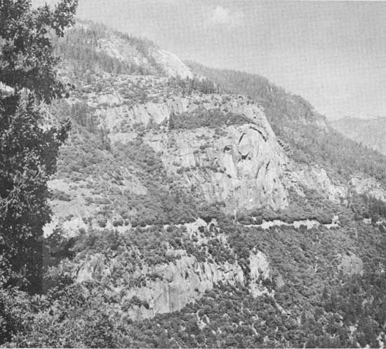
YOSEMITE NATIONAL PARK, CALIFORNIA. Contrast the heavy cliffside
construction dictated by topography on the Big Oak Flat Road
(above) descending to the valley floor (below) where the road
location has been fitted into the landscape. (National Park Service Photos)
|
|
|
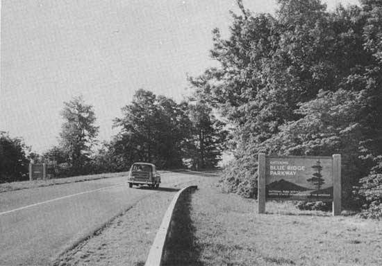
LEAVING SHENANDOAH NATIONAL PARK, VIRGINIA. 477 miles ahead--Great Smoky
Mountains National Park. (Photo by Abbie Rowe, Courtesy National Park
Service)
|
|
|
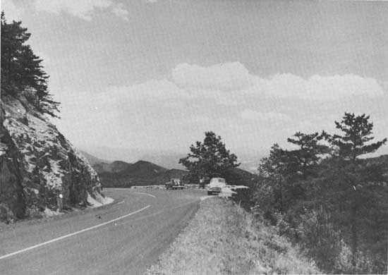
SILVER PEAK WIDENING. Overlooking George Washington National Forest,
Virginia. (National Park Service, Blue Ridge Parkway Photo)
|
|
|
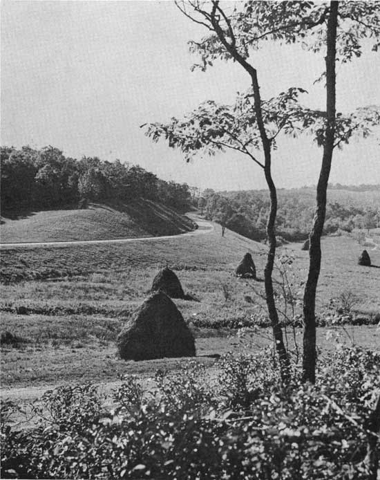
HAY MEADOWS ALONG PARKWAY. Low cost maintenance of pastoral landscape
by leasing parkway lands to neighbors. (National Park Service,
Blue Ridge Parkway Photo)
|
|
|
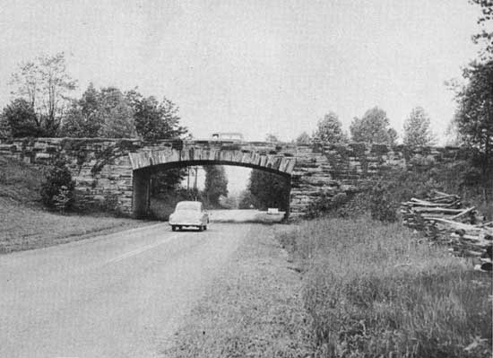
BLUE RIDGE PARKWAY. Native stone faced structure carries Parkway
over state highway. (National Park Service, Blue Ridge Parkway Photo)
|
|
|
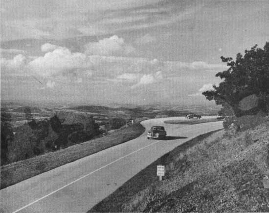
LAND OF FAR DISTANCES. Balcony Parking Area overlooking Persian carpet
pattern of Piedmont Plateau. (National Park Service, Blue Ridge
Parkway Photo)
|
|
|
"IN THE BLUE RIDGE MOUNTAINS OF VIRGINIA" Peaks of Otter in Background.
(Photo by Abbie Rowe, Courtesy National Park Service)
|
|
|
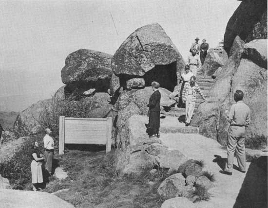
PEAKS OF OTTER, VIRGINIA. Unobtrusive natural stone steps lead to
observation platform on Sharp Top Mountain. (National Park Service,
Blue Ridge Parkway Photo)
|
|
|
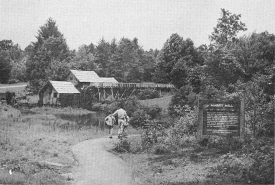
THE PATH TO YESTERYEAR. Restored Mabry Mill grinds cornmeal and
buckwheat flour for visitors and exhibits early American industry.
(National Park Service, Blue Ridge Parkway Photo)
|
|
|
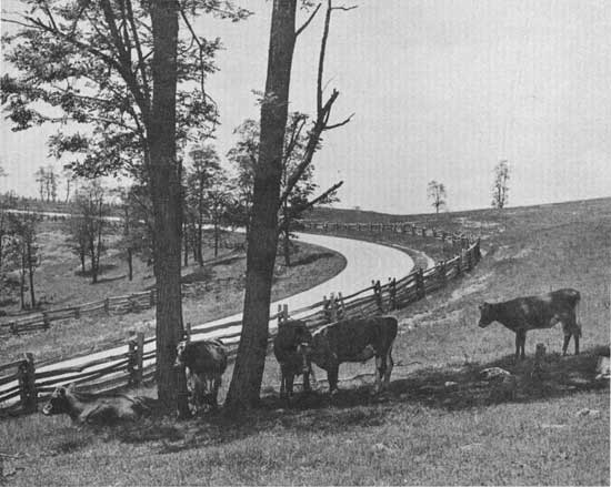
NOONTIME SHADE AT HIGH ALTITUDE. Native style rail fences are both
picturesque and practical. (National Park Service,
Blue Ridge Parkway Photo)
|
|
|
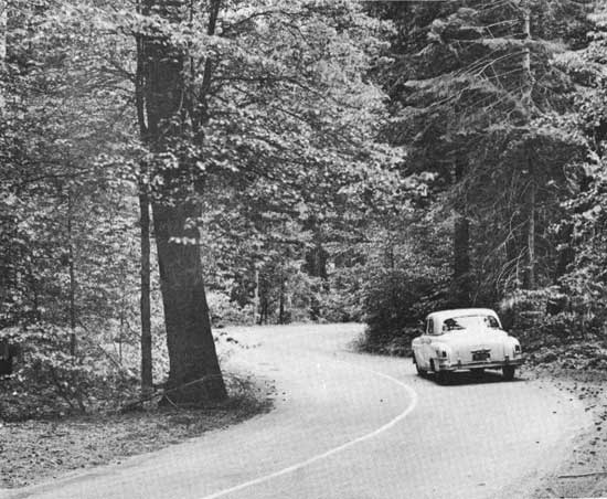
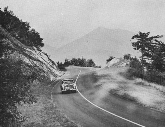
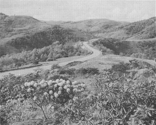
BLUE RIDGE PARKWAY. Alligator back location through difficult
topography. (National Park Concessions, Incorporated, Photo
by W. Ray Scott)
|
roads-parkways/illustrations1.htm
Last Updated: 18-Feb-2009
|