PECOS
From Folsom to Fogelson:
The Cultural Resources Inventory Survey of Pecos National Historical Park
|

|
APPENDIX E:
1,100 YEARS OF CONSTRUCTION WOOD USE IN THE UPPER PECOS VALLEY
|
|
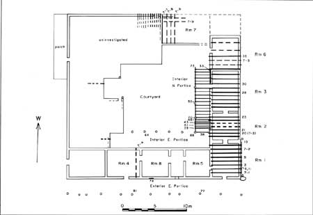
E.25. Plan of Martinez
House on the grounds of the Pecos Catholic Parish (click on image for an enlargement in a new window)
|
|
|
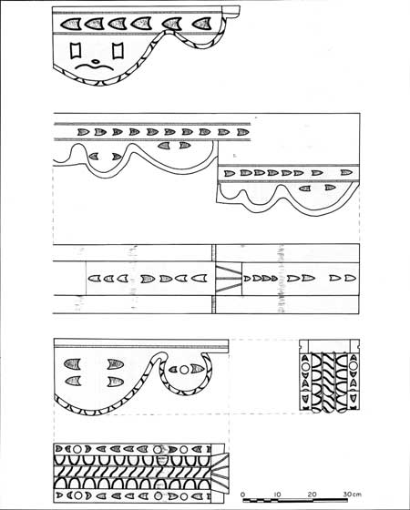
E.26. Decorative designs
carved on corbels in the Las Colonias church, which were probably taken
from the Pecos Mission Church (click on image for an enlargement in a new window)
|
|
|
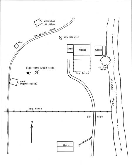
E.27. Sketch plan of the
Rivera homestead buildings near Terrero in 1994 (click on image for an enlargement in a new window)
|
|
|
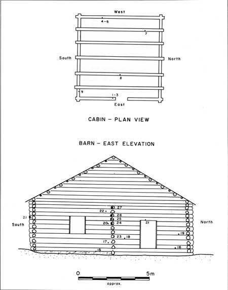
E.28. The initial cabin
and barn at the Rivera homestead near Terrero (click on image for an enlargement in a new window)
|
|
|
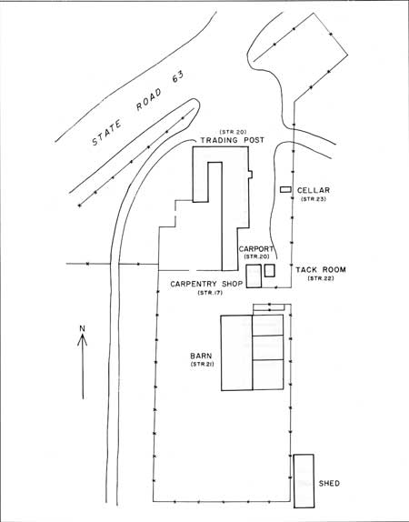
E.29. Plan of the
structures at the Kozlowski Stagecoach Stop and Trading Post except for
the main building (click on image for an enlargement in a new window)
|
|
|
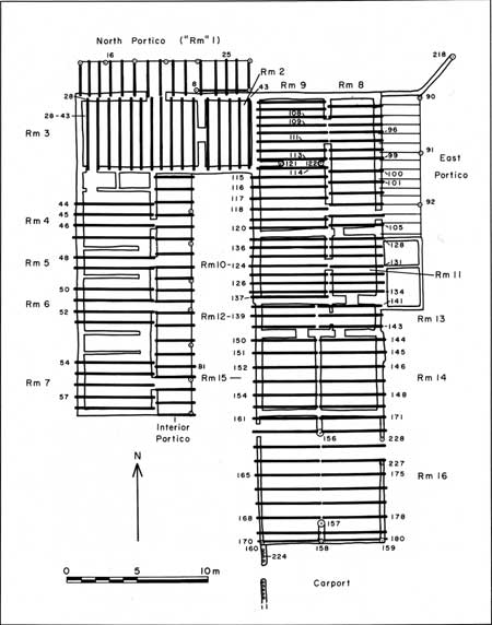
E.30. Plan of the main
building (Structure 20) at the Kozlowski Stagecoach Stop and Trading
Post (click on image for an enlargement in a new window)
|
|
|
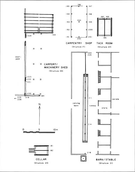
E.31. Plan of the
outlying buildings at the Kozlowski Stagecoach Stop and Trading Post.
Numbers mark sampled structural elements. (click on image for an enlargement in a new window)
|
peco/cris/appe6.htm
Last Updated: 13-Feb-2006
|


