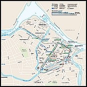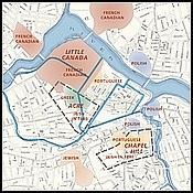
Download a PDF of the overall park map 
Visit the Harpers Ferry Center Map site for more Lowell maps, including the Evolution of the Canal System, and Lowell's Ethnic Neighborhoods in 1912. 
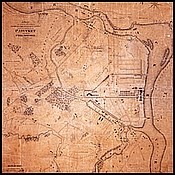
The UMass Lowell Center for Lowell History digital map collection includes many maps of Lowell from early surveys to city atlases to millyard maps. Maps range from 1821 to 1977. |
Last updated: June 29, 2022
